


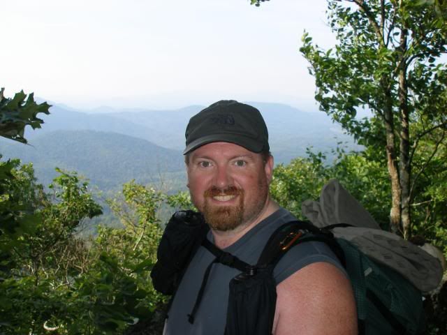
Monday, June 7, 2010
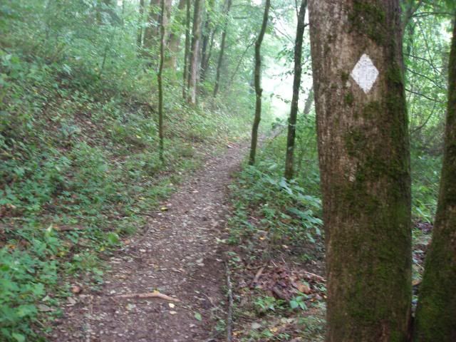
I stepped off about 7:30 to a wet, muddy, but easy 10-mile section of trail.
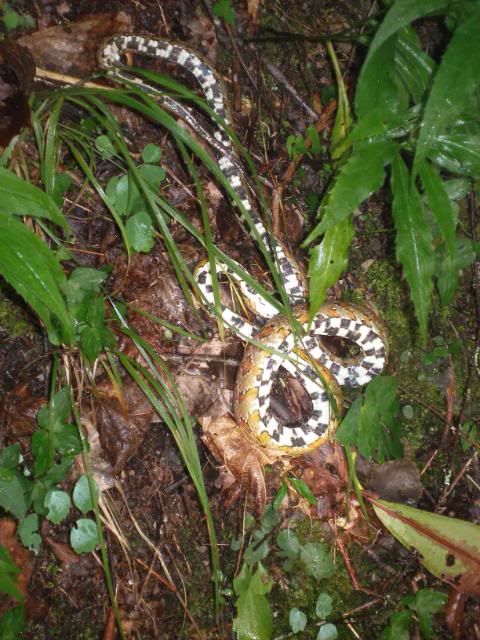
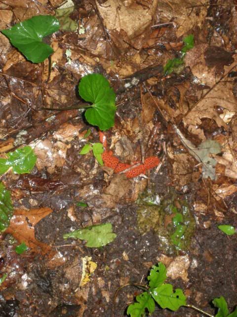
It would remain mostly level throughout the course of the day as I walked alongside the Hiwassee River. I encountered a snake early on, whether asleep or dead I didnt pause to discover.
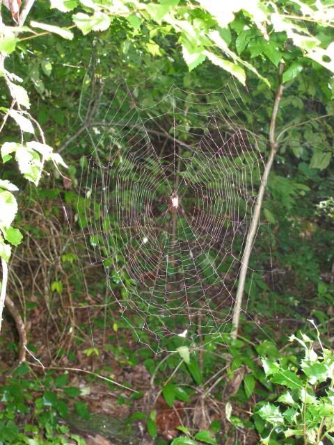
This stretch could easily have been called Web Alley for the hundreds and thin strands I ran into. Full size webs were easily seen and much easier to avoid.
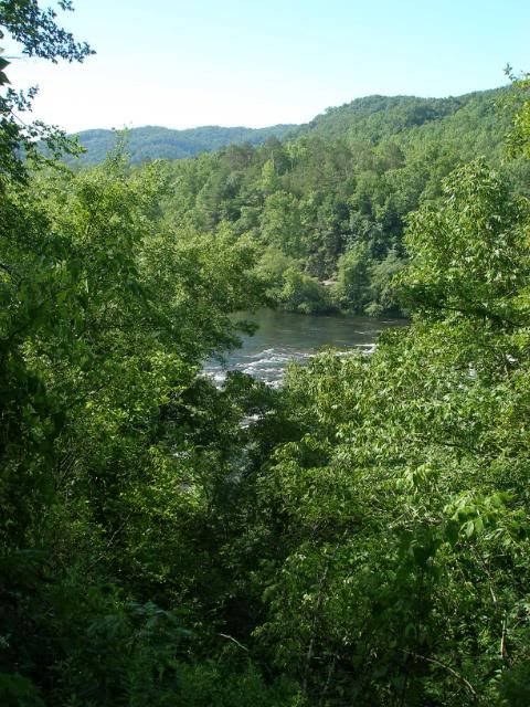
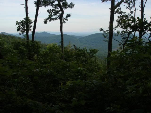
A short climb gave me one of the few views I would get on this stretch.
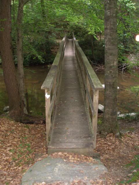
I pushed past several picnic areas, boat launches and fishermen. Soon I arrived at Appalachia Powerhouse and its foot bridge access.
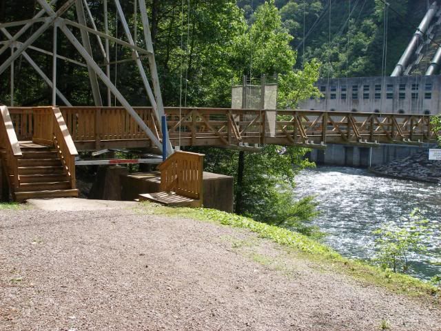
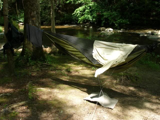
I stopped here and enjoyed lunch in the shade of the bridge.
Then I ambled on. The heat was picking up with the early afternoon sun, but I easily made it to the many good campsites along Coker Creek.
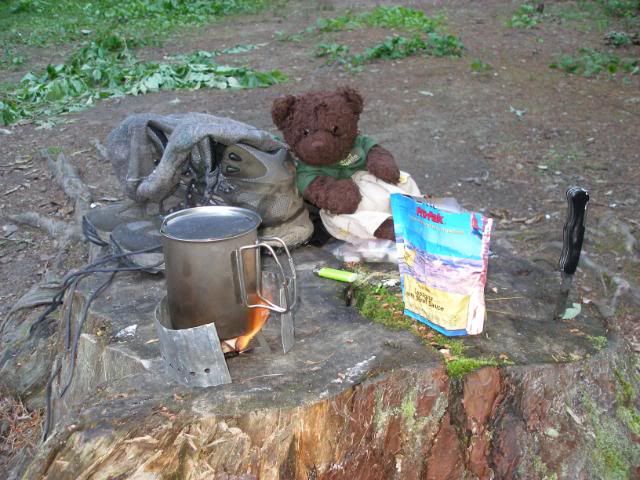
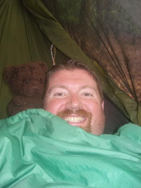
I enjoyed a second lunch and took a nap. When I got up, Dewey Bear helped with cooking dinner as well.
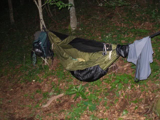
I retired to my hammock and enjoyed a great night of sleep after a restful and easy day. I had found my joy in my hike once again.
Tuesday, June 8, 2010
I stepped off early and crossed the footbridge over Coker Creek.
A half-mile up the trail, I left the John Muir Trail behind and began a 1000-foot climb over the next 2 miles. It turned out to be a very mellow ascent. At the top, the BMT joined the Unicoi Mountain Trail, a combined use trail that allowed motorcycles and horses as well as hikers.
Dewey said hello to another backpacker.
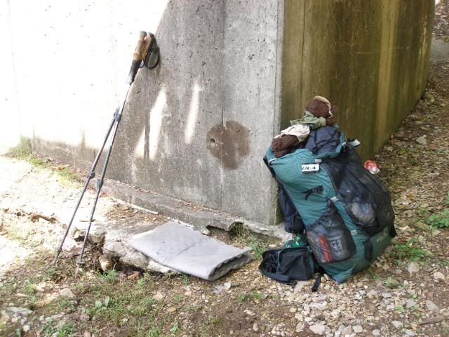
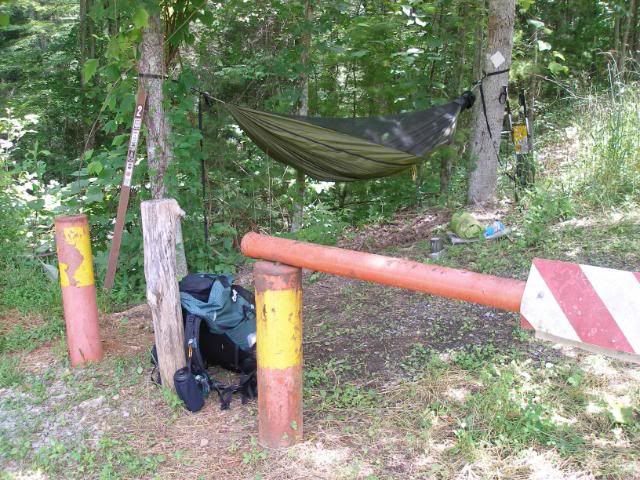
I made excellent time, cranking out nearly 9 miles by noon. I hung my hammock next to the trailhead at Unicoi Gap, where I cooked lunch and relaxed while I let the afternoon heat die away.
Here I met the only other hiker I would encounter on this BMT hike. Hank, a hiker visiting from Michigan was dayhiking the area. He drove away while I was packing up around 5:30. I knew I had another 1000-foot climb ahead and I stepped off steadily in the warm evening air. I only needed to cover about 4 ½ miles to get my an old homestead whose spring would be my campsite water source. Along the way, I enjoyed one of the best views I would see on this trip.
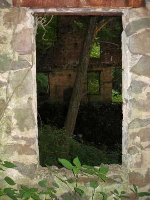
About 8 PM, I finally arrived at the old homesite, the rock remains of a two-story home.
The springs in the area were flowing freely and drank well as I hung my hammock for another night.
Wednesday, June 9, 2010
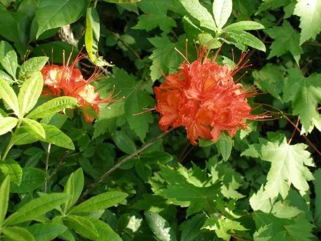
My toughest day started off early. I pushed up the trail, gaining maybe 400 feet. On the gradual descent toward Sandy Gap, I passed more wildflowers than I could easily count.
When I arrived at Sandy Gap, I had a mid-morning lunch, preparing for the 1400- foot climb to Hazelnut and Round Top. I hiked steadily and made remarkably good time. I felt strong. I especially enjoyed the stop at one excellent viewpoint.
I continued on, growing a bit tired as I neared the summits of Hazelnut and Round Top. A sudden and dramatic thunderstorm helped inspire me on my way. The ridgeline from here to Rocky Top proved to be one of the more overgrown sections of the BMT and the briars and brush soaked me long after the rain quit falling.
The climb up to Rocky Top appeared to be a steady climb of perhaps 400-500 feet. Instead, it was a series of four false summits, gaining considerably more height than the profiles might indicate. By the time I reached the true summit of Rocky Top, I was tired, cranky, and ready to be done for the day. Id only covered 10 miles, but it was already 2:30.
The Berkshire Creek Trail was downhill the entire 3 miles of its length. I intended to push most, if not all, of its length to camp. But within a couple of minutes of beginning that trail, I could hear more thunder in the distance. I began looking for a decent campsite. Within 10 minutes, I found it.
I got my tarp and hammock up just as the rain began to pound down. Despite the heavy rain outside, Dewey and I were dry and very comfortable inside.
We read, napped, and took advantage of a lull to cook dinner. We had 8 ½ miles to hike out in the morning. It didnt seem like much as we drifted off to sleep that night.
Thursday, June 10, 2010
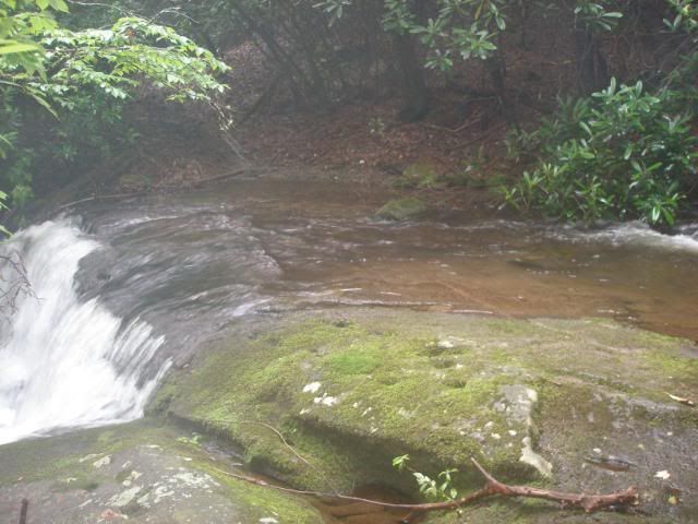
I was up early and packing, thankful the rain which had lasted until at least 3 AM had passed. The first 2 ½ miles were a descent along Berkshire Creek. When the trail turned, I forded the Bald River.
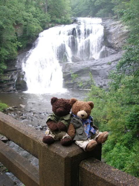
It was startling to think how this little stream up high would , in just 8-10 miles, turn to the large powerful falls Dewey and Orville had posed in front of just five days earlier.
Over the next 2 ½ miles, I would climb up 1100 feet. To my surprise, the trail remained quite gradual, and I made excellent time. Along the way, I passed untold numbers of snails and salamanders.
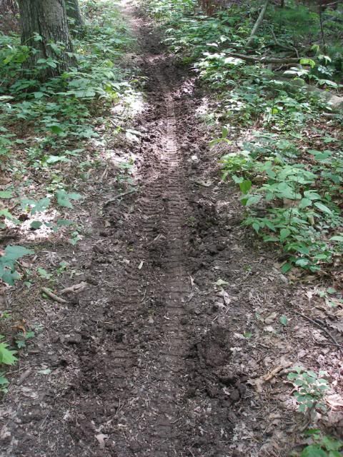
At the top, I crossed over Sugar Mountain Road, a grassy overgrown gravel path that only an ATV would reasonably drive now. But it marked the final 2.4-mile, 1300-foot descent to Green Cove and my truck.
I headed down with a vengeance, covering the route in about 55 minutes. At the bottom, I changed in the privy at the trailhead and cleaned up a bit. I pulled a bit of gear to dry in the back seat area of my truck. Dewey got comfortable in the passenger seat, and I headed for home.
The BMT remains a tougher trail than the AT in my opinion. I had shortened my intended hike by over 30 miles, and I was glad for doing so. Between the heat and vegetation, it proved to be a very tough walk. But I looked back with a sense of accomplishment at the 60 miles I covered. I will be back again in the autumn, when temperatures and leaves have both fallen.


 Reply With Quote


Bookmarks