


This will be a brief trip report as others have posted more detailed information on this route. I thought some might enjoy the photos of our weekend hammock excursion to the Virginia Highland Balds. El Gordo and I met Saturday morning at the Mount Rogers Trail Head off Route 603 in Smyth County VA near the border of Grayson County. We started off with aspirations to climb the Mount Rogers Loop Trail and connect to the Appalachian Trail on the way to Thomas Knob Shelter. We made it to the shelter around noon for lunch and decided to head from there to Rhododendron Gap for our first night. Unfortunately the site was packed with a Scouting Troop and multiple families so we continued along the AT until its intersection with the Virginia Highlands Trail on the south side of the loop. Day 1 was about 9.5 miles.
DSC02335 by Twistytee, on Flickr
DSC02333 by Twistytee, on Flickr
DSC02267 by Twistytee, on Flickr
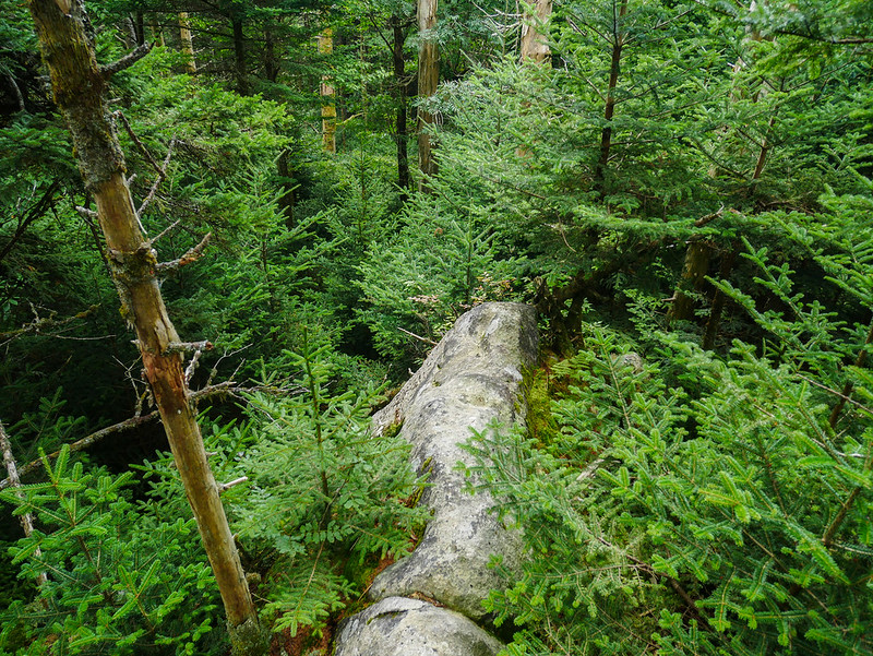
Lots of rocks to navigate along the AT
DSC02270 by Twistytee, on Flickr
First sighting of the feral ponies that graze along both the Mount Rogers Wilderness area and the Grayson Highlands State Park
DSC02279 by Twistytee, on Flickr
DSC02315 by Twistytee, on Flickr
Our path layed out along the AT on the way to Wilburn Ridge
DSC02300 by Twistytee, on Flickr
View out along the top of Wilburn Ridge
DSC02306 by Twistytee, on Flickr
Campsite #1 with El Gordo and me sporting porch mode
DSC02310 by Twistytee, on Flickr
DSC02311 by Twistytee, on Flickr
Day #2 brought us more painted ponies as we circled the southern portion of our route on the way to Scales and then the Old Orchard Shelter where we planned to camp for the second night. We ended-up with another 9+ mile segment the second day.
DSC02309 by Twistytee, on Flickr
Rest stop on the way up the AT after crossing the Virgina Highlands Trail that leads to Massie Gap
DSC02317 by Twistytee, on Flickr
Cresting the Highland Balds on the way to Scales
DSC02322 by Twistytee, on Flickr
Escaping the warm sun at Scales we headed back into tree cover for the uphill climb to Old Orchard Shelter
DSC02328 by Twistytee, on Flickr
Unfortunately I realized I didn't capture any pics of the AT Shelters or our campsite for Night #2. El Gordo was sporting some fun party lights along the top of his CRL which entertained our neighboring campers at Old Orchard. I had to get back to work on Day #3 so we packed-up early and did about a 5 mile hike up the Lewis Spur Trail to connect with Mount Rogers Loop and back down to the cars. We finished about 10am on Monday for a total 23 mile hike on our loop. For those of you that haven't had a chance to visit the area, I highly recommend the trip. It was warmer and more humid than we had hoped, but good weather nevertheless. A park ranger was stationed at Scales warning us and other hikers of the pending hurricane/tropical storm coming up the Appalachian Mountain chain from Louisiana. We we're leaving the following day so no negative impact for us but we met a thru hiker at Old Orchard who was heading NOBO for a late season run at the AT. Hope he is weathering Ida's remnants safely as it brought scattered storms to NC today.
DSC02330 by Twistytee, on Flickr

 Reply With Quote


Bookmarks