


So after reading a post here a few weeks ago, I decided to reserve a campsite and visit this little park. And I'm glad I made the decision right then, because all of the sites except one were filled up with mostly families there for the next few weeks. They were all there for the synchronized firefly festivals. Every year only 3 places on earth have this natural phenomenon and this place is one of them. Thousands and thousands of people come out for this, folks have to walk miles from where they park just to see this. Columbia, SC even has a special bus service here just for this. Read about it here https://www.facebook.com/CongareeNP/.
I set up in the Longleaf campground, and after meeting the person in the campsite next to mine, a German lady from Cologne traveling in the US for a few weeks, we decided to walk that night together to the Festival. Seeing thousands of fireflies light blink on suddenly simultaneously in the darkness just a few feet above the ground is once in a lifetime stuff. Here a pic of the firefly trail, complete with little solar powered red lights at ankle height.Its great for the kids!
The next day I took the Oakridge trail, about a 7 mile circuit trail but only made it about half way around because of the flooding. Folks, this Park is a swamp and nowhere on the trail did I see an area where it either wasn't or couldn't be flooded. Here is the park provided map, I was stopped right after crossing
bridge G on lower part of map
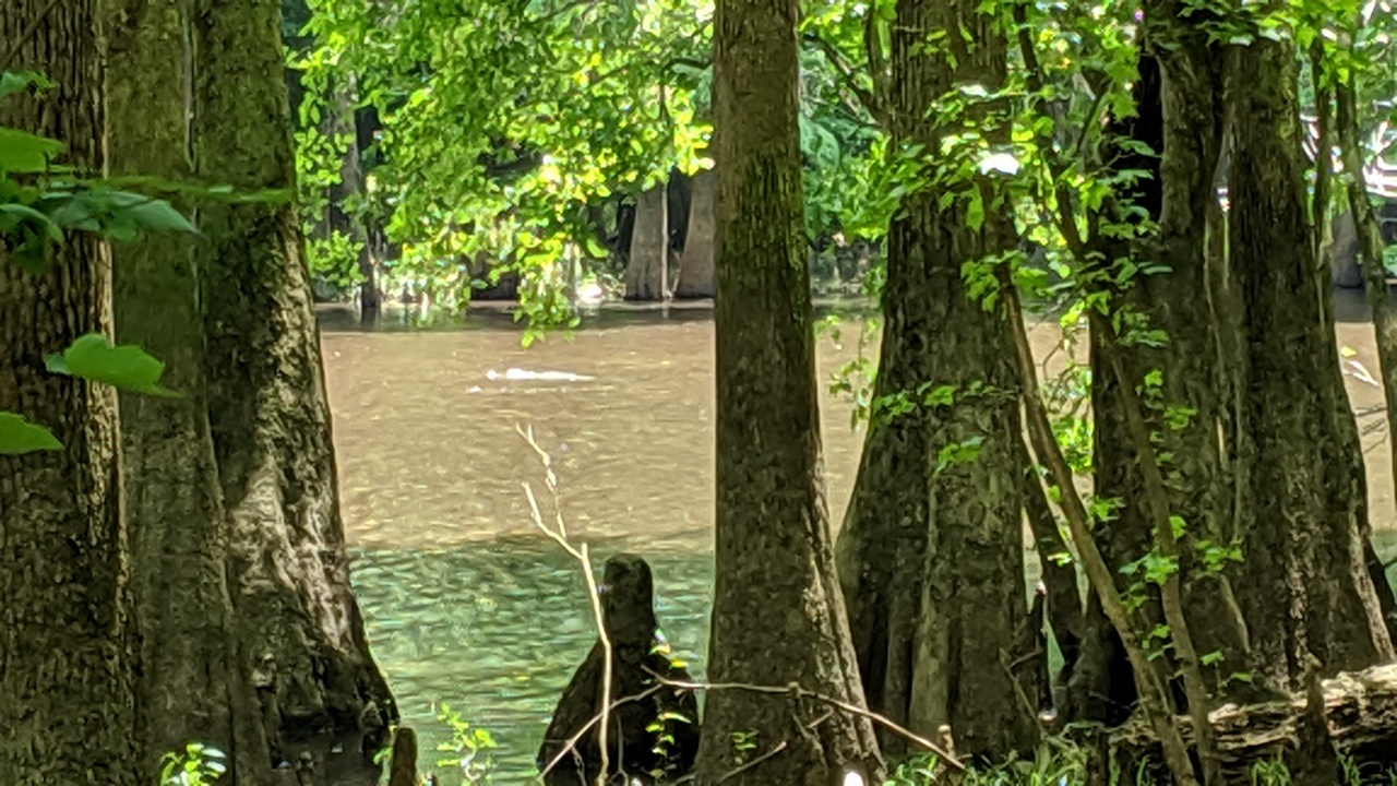
There are no vista views, no clean clear rushing water, nothing like that...this is a swamp, a floodplain. Know flooding can come at any time and anyplace, courtesy of the Congaree River and Cedar Creek. USGS has graphs showing the water level both online and at the park center, its important to pay attention to them, otherwise dryish land your camped on at 8PM could be under water by 3AM an unpleasant experience lol. Heres a few pics
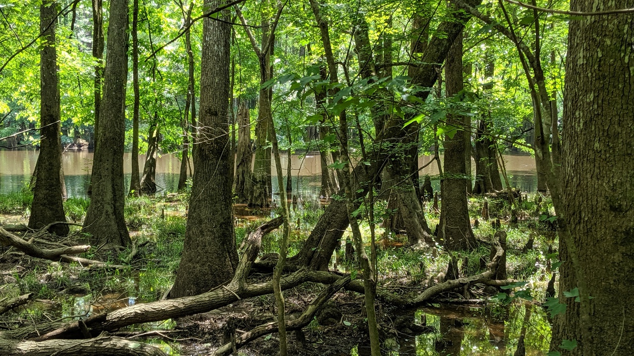
A gator way out there
The mossies can be horrid there of course, there is even a mosquito meter at the park center...And make sure you carry your compass and gps, a few days before rangers and local authorities had to stage a rescue, they said it happedns more than you'd think in a little park. Apparently some tourists off leash dog chased a wild boar (lots of them there!) into the brush and when they caught up with the dog, they were lost. Check this photo out and heres why...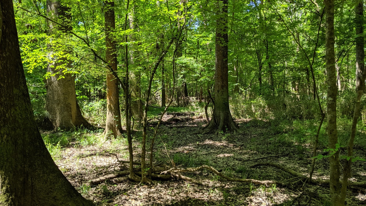
This is considered a hugely wide open area right off the trail. If you go back there a few hundred feet, it'll be easy to get turned around quick if your not paying attention, more so than in most areas I've been in. The trails are all marked with with numbers on trees all of which you can see from the last marker. Again, more markers than I've ever seen on a trail, I think people get lost here a lot.
The boardwalk is a great addition too, especially if your here with the family, lots of pics a it on you tube and the Parks website. I'l be back in July to see how bad visiting in the height of summer can get LOL, I'm a glutton for punishment. I'll just remember to keep an eye on those USGS graphs. Good luck if you go, if your careful you should have a blast.


 Reply With Quote


Bookmarks