


To the Bushwhackers Jamboree
So what is a Bushwhackers Jamboree? Ten years ago a friend of mine with a board name of Stumpy announced an event. He announced it like this.
“Hi:
It's been over two years since my first post on this idea...when I was a little more anonymous, and a little more cocky (at least on this board).
Many, thought it was too far off. Now, we are halfway there and less than 2 years away from permit reservations for it.
There have been a few critics, but let me say this...It's not a contest. It's not about me. It won't be crowded and it won't be easy. Yes, I'm calling the shots this time. Maybe those who make it there can all call the shots for 2010...The charter members of the BUGBIT club.
Here are the basics::
WHO...Whoever can get a permit and get to the location on the date(s) to be named later.
WHAT...It will be an informal meeting of tough and hardy travelers, where stories and information will be told. Things that should be earned.
WHERE...It will be on a lake near the middle of Quetico, with no name, no portage trail to it (NONE), good depth, good water, plenty of bugs and campable shoreline.
WHEN...It will be in mid June 2005 (When bugs are bad and so are voyageurs)...And every 5 years after that, I hope.
WHY...Because the best information should be earned. Because I hold back on some stories on this board and I know others do to. Because exploring those no-name lakes makes for great adventure. Because I want to meet other bushwackers and here where they've been and tell them where I've been and exchange great stories. Because I want to shake the hand of anyone who gets there!
HOW...Barring any changes in the permit system...I will anounce the exact date and location on this website at .....9:00 PM, DECEMBER 7th, 2004.
Thank you
Stumpy”
The first and second jamboree I was in the park and for one reason or another I did not make the get-together. Here is Jamboree number 3 announcement.
http://www.bwca.com/index.cfm?fuseac...ID=12&confID=1
When this years jamboree was announced several people posted they would be there. I decided I would try and this time not make any of the mistakes I had made in the past. I even decided I would go a day early so I could rest up enough to get out at the same time as all the others. I was saddened to hear about the family commitments that would keep Stumpy from attending. As trip time got close life was busy and I did not keep track of who to expect at the jamboree but I was excited to meet whoever did.
6/10/15
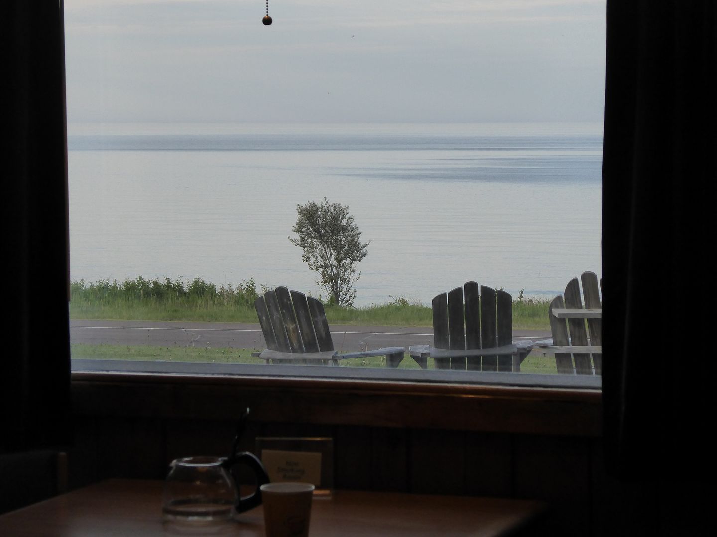
Left home at 9 o’clock and plan on spending the night somewhere between Duluth and Atikokan. Have plenty of time to get there so when I catch up with a truck I stay behind it and leave the passing lane open for those who need it. I stopped at a little motel after Duluth along RT61 called the Outpost. Out my window I have a view of Lake Superior. I would recommend the Outpost. I sat in the lawn chair and sent a Spot Messenger “I am OK” To my wife and my spot watcher Jimbo. Little did I know that was the last time that spot worked and actually sent a message.
At 7:00 AM the Lake Superior is almost glassy and I am on the road with good weather. On the road I saw 3 deer and 2 moose. Met a truck that picked up a rock and chipped my windshield. Other than the chipped wind shield the trip up was good. Stopped at French Lake ranger station and got my permit then stopped and talked to Doug an outfitter friend. He is trying to retire from the business and may have someone who wants to carry on. After checking at the White Otter I checked out the museum in Atikokan and then got a tour of Souris Canoes. I set my spot to send the “I am OK” message on the dash of my car while I eat supper in the White Otter restaurant. I go to bed at about 8:00.
Day 1 6/12/15
At 03:00 I am too awake to try to go back to sleep so I have a breakfast that I can eat in the room. My Hives are flaring up and are staging a comeback after yesterday’s retreat. By 04:00 I am on the road and can see a large moon so the sky is not heavy overcast. I set my Spot to send my tracks and then I put in at Nym Lake and head for the lesser traveled rout out to French Lake through the 3 portages in the South East corner of Nym.
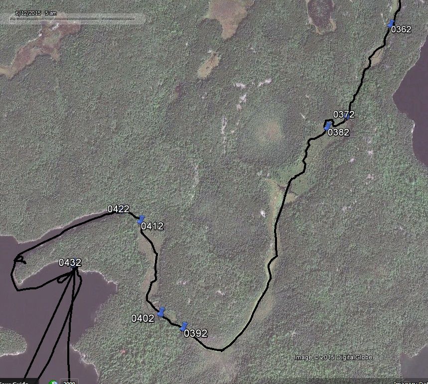
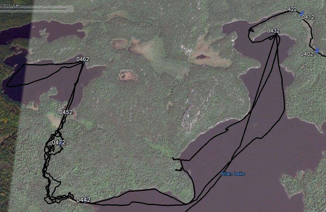
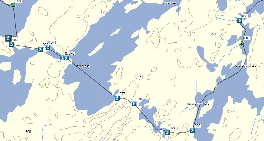
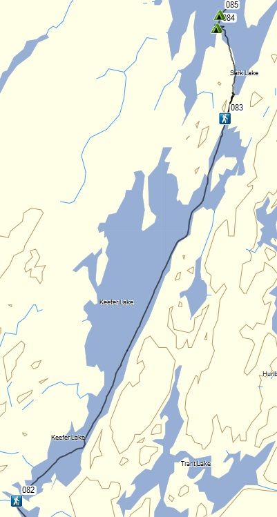
Map1
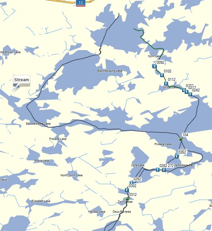
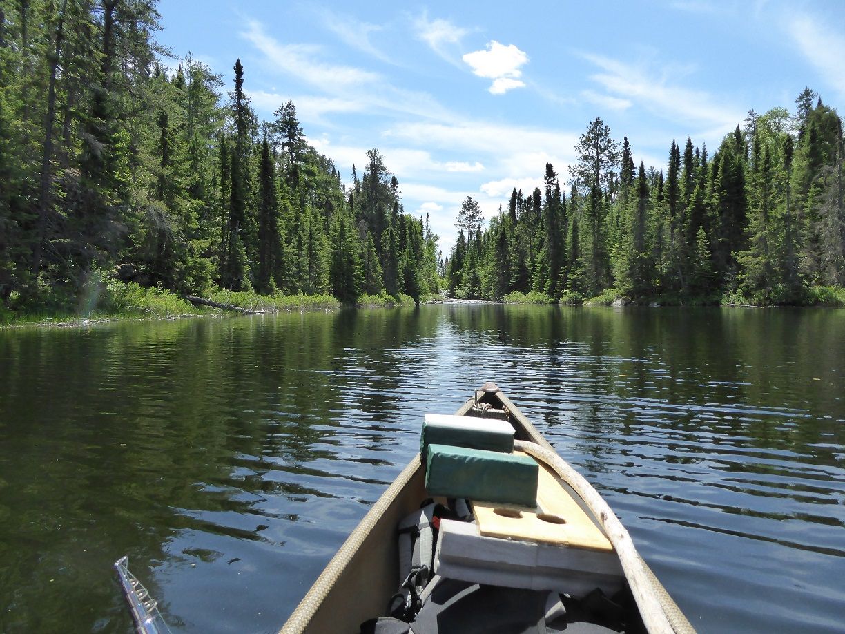
On the map you can see my first and last days tracks. Crossing Nym Lake there are some rocks just below the surface in the area just beyond the first narrow section. At 6:50 I am through the first portage the wind is so light I cannot tell which direction if is coming from. Half way down the first lake I had to cross a beaver dam. Not often there is a beaver dam in the middle of a lake. After I got past the beaver dam the lake is a little deeper but I can still see lily pads occasionally. At the end of the second portage there is an old road that the portage crosses just before the put-in. No human tracks on either portage so far. At the third portage I waited for a group of 3 canoes to finish loading and push off. Looks like 3 father son teams also doing the less traveled rout. As I unload at this portage I realize I left my main fishing pole in the car. The backup will need to suffice. On this portage there is a place where you could put the canoe in a beaver pond in the middle of the portage and a few places where your feet will get muddy. I frequently read where someone is asking about the condition of these portages and few people have done them so there are few answers. Well they are typical Quetico portages. While in the open water section of Pickerel there was a set of waves coming from the direction of Pine Portage. The waves were big enough I could feel the canoe bounce. There was no wind and I did not see anything that could have caused the waves. Coming into Dore portage I saw 2 bass guarding a nest. I thought it was too late for them to still be on the nests.
At 1:00 PM I have finished taking a lunch break at the camp site on the North East side of Dore Lake. I have finished all the big water lakes for a while and the wind has been nonexistent. Ahead are a couple of smaller lakes and a river that usually has lots of bugs. The weather is cooperating by starting a light breeze. I stopped just to explorer the campsite on lower twin. It would work well if I needed a camp while on the move.
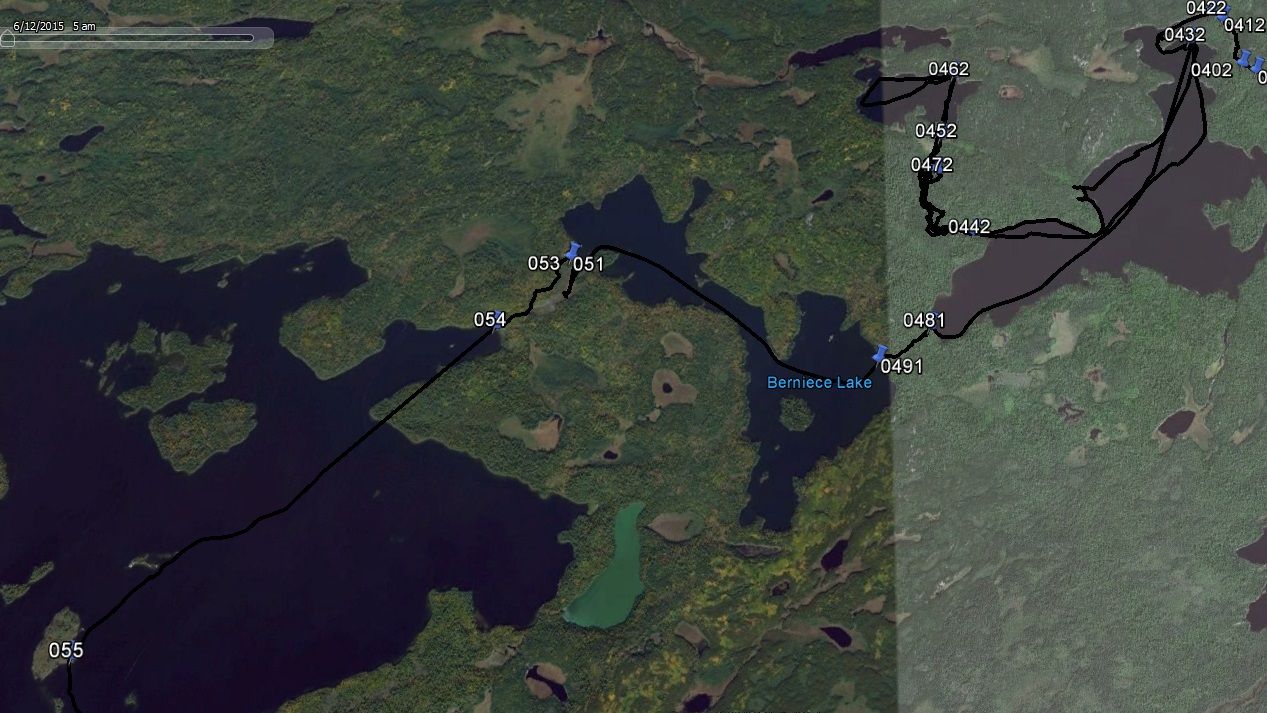
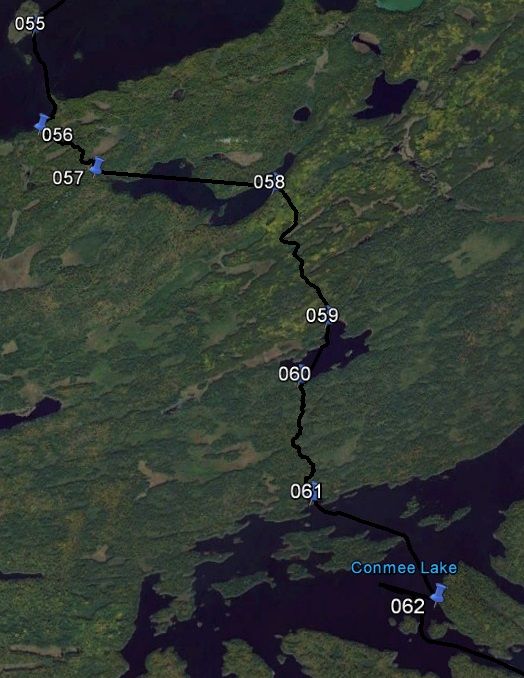
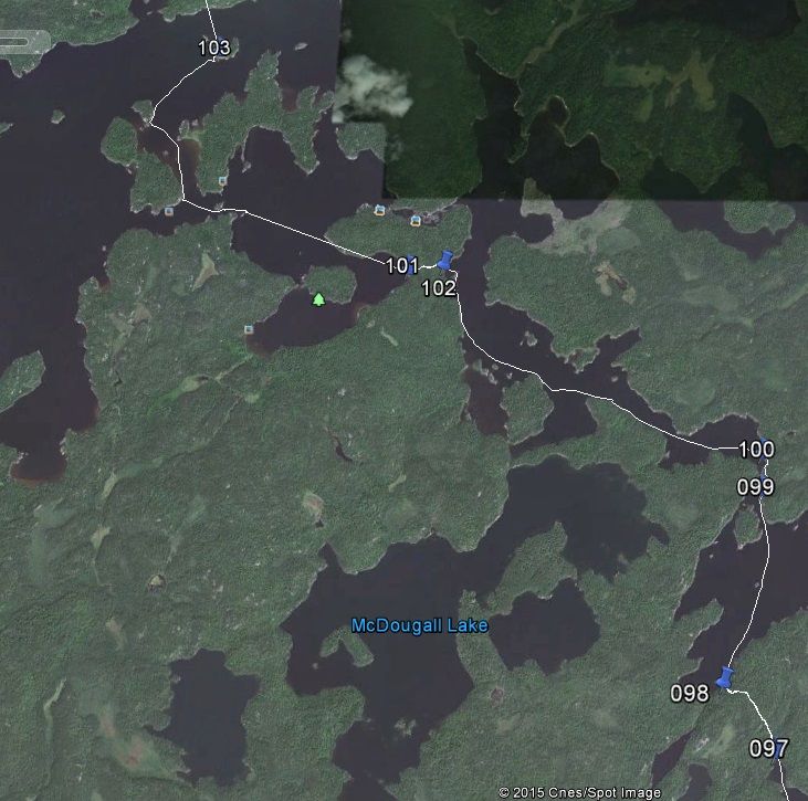
Map2
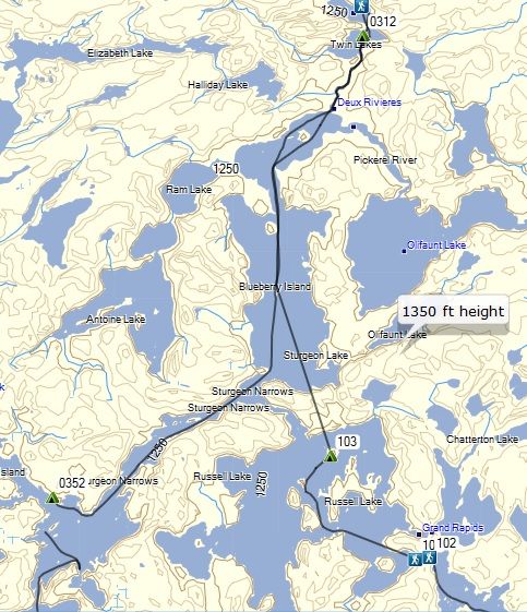
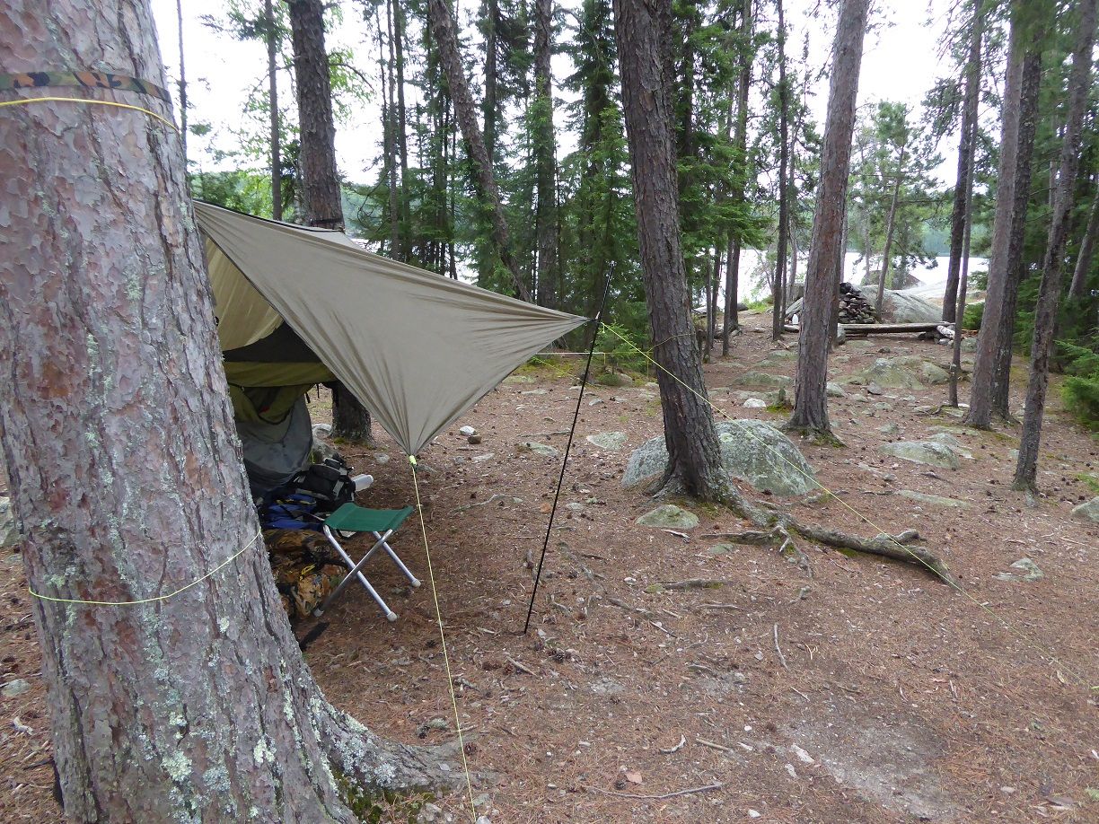
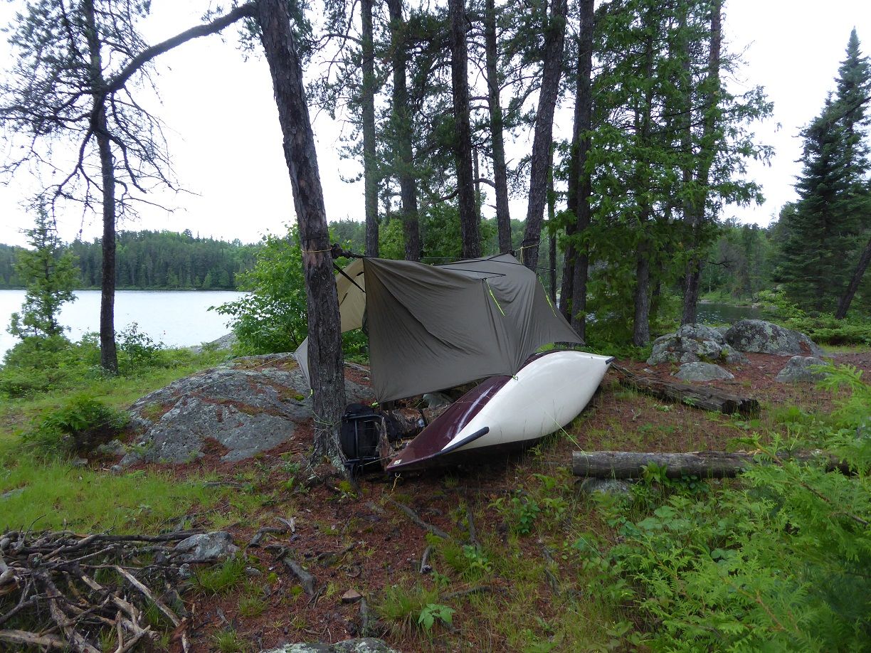
My day one tracks enter the map from the North and curve around to the west and end at a camp on the lower part of Sturgeon Lake. Nym to lower Sturgeon not a bad days travel for an old man. By 8:00PM I have eaten and ready to crawl in my hammock. Set my spot up to send an “I am OK” message. The only people I have seen today were the 3 canoes while I was coming out of Nym.
6/13/15
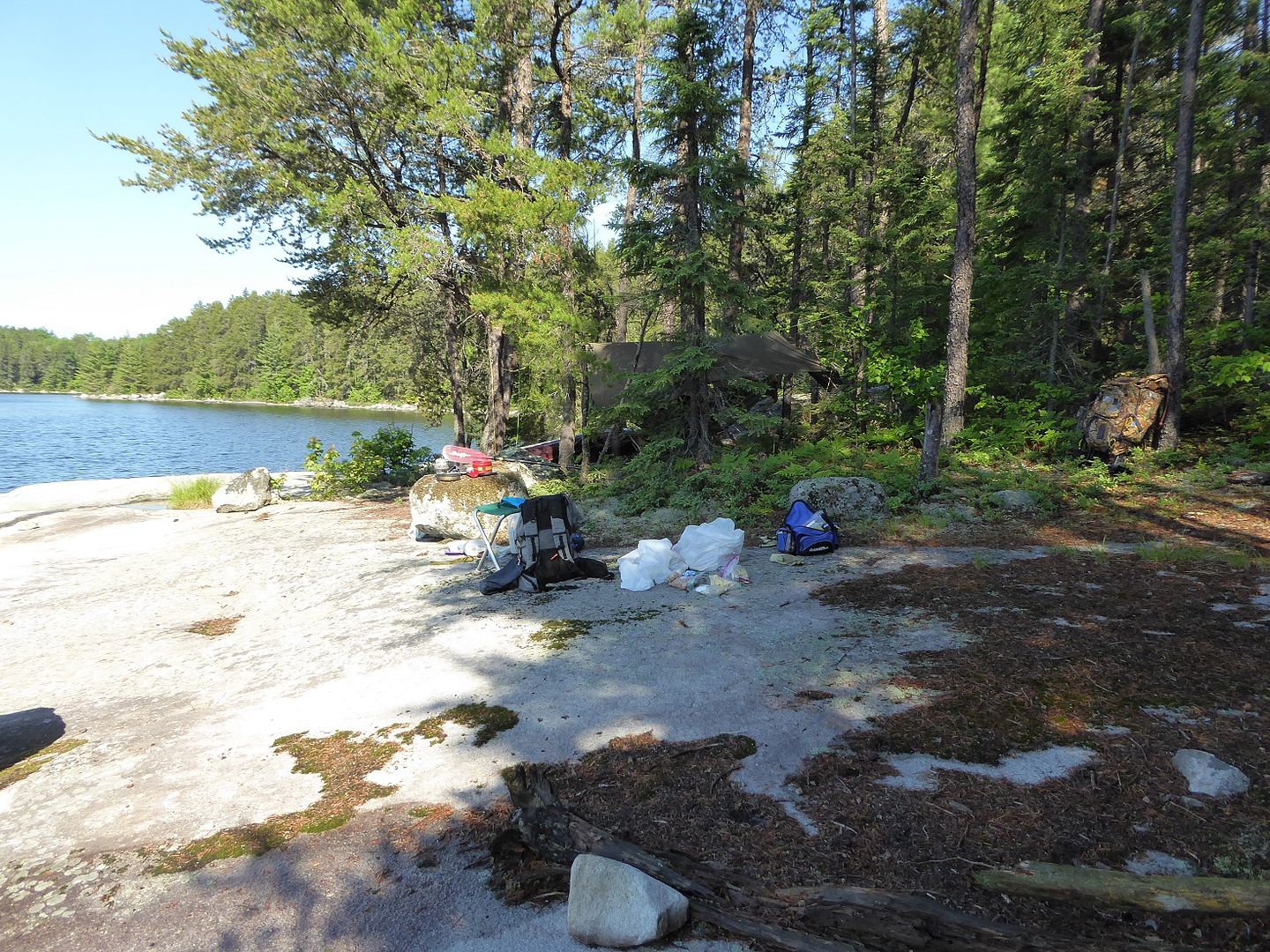
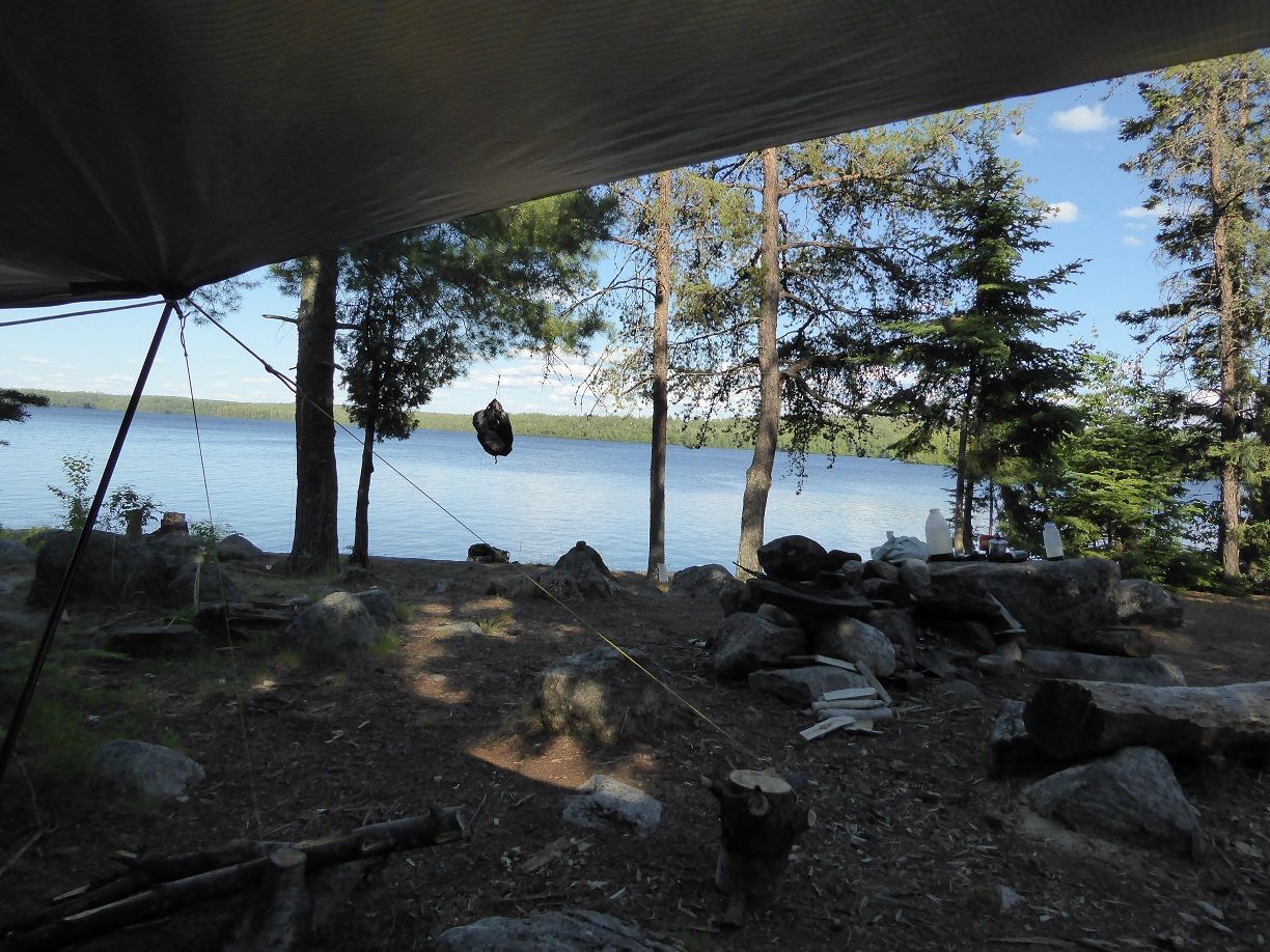
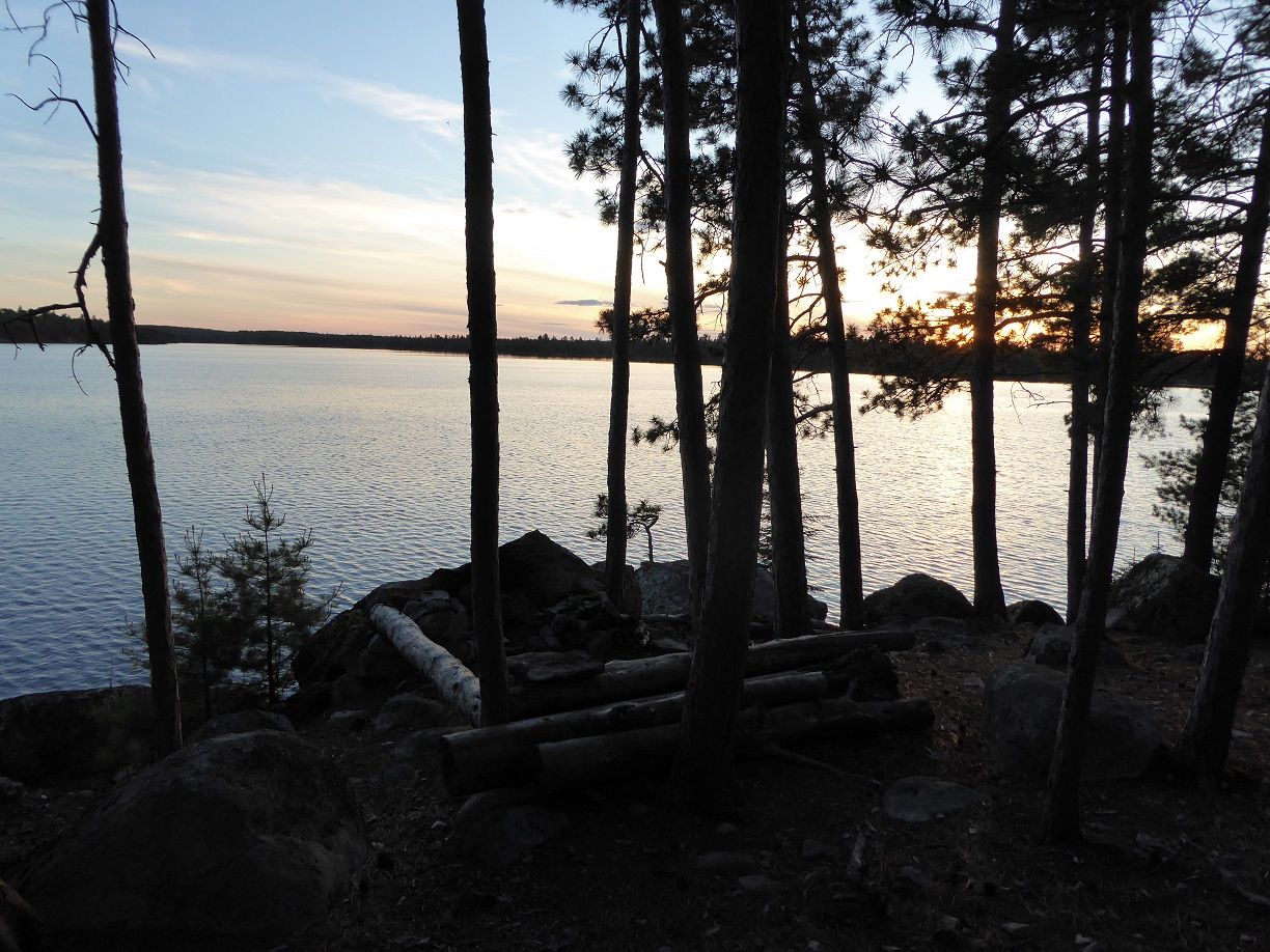
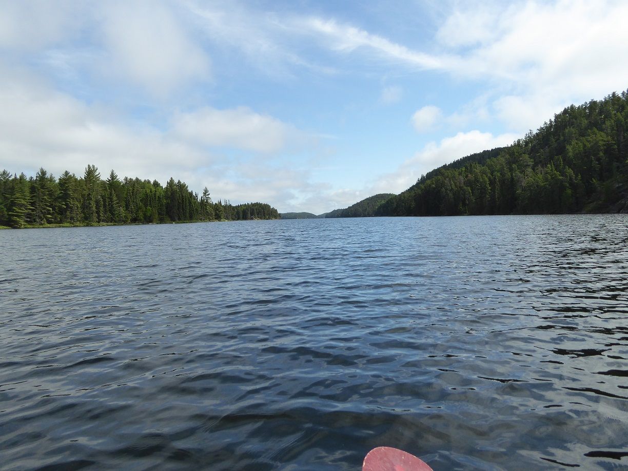
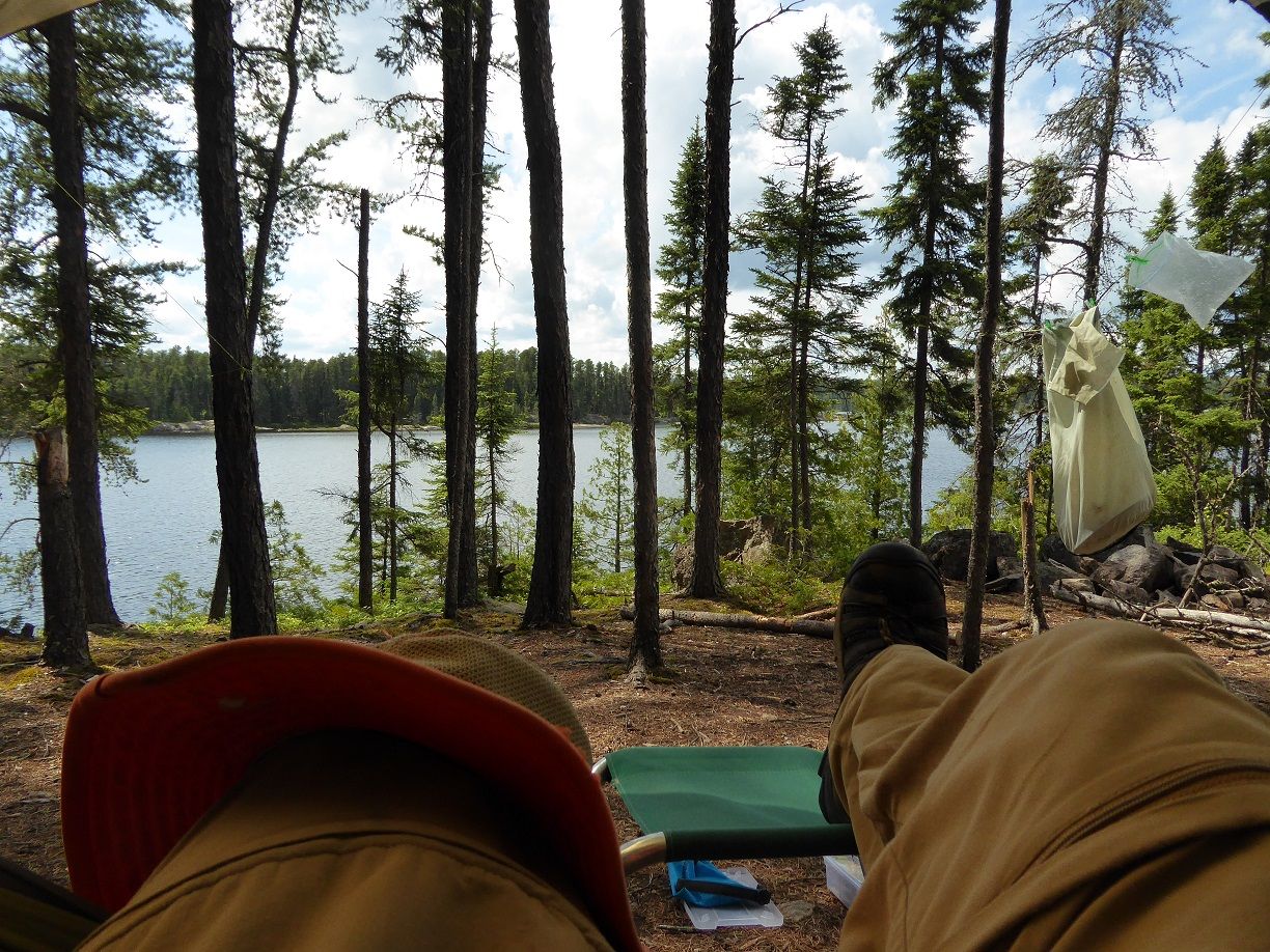
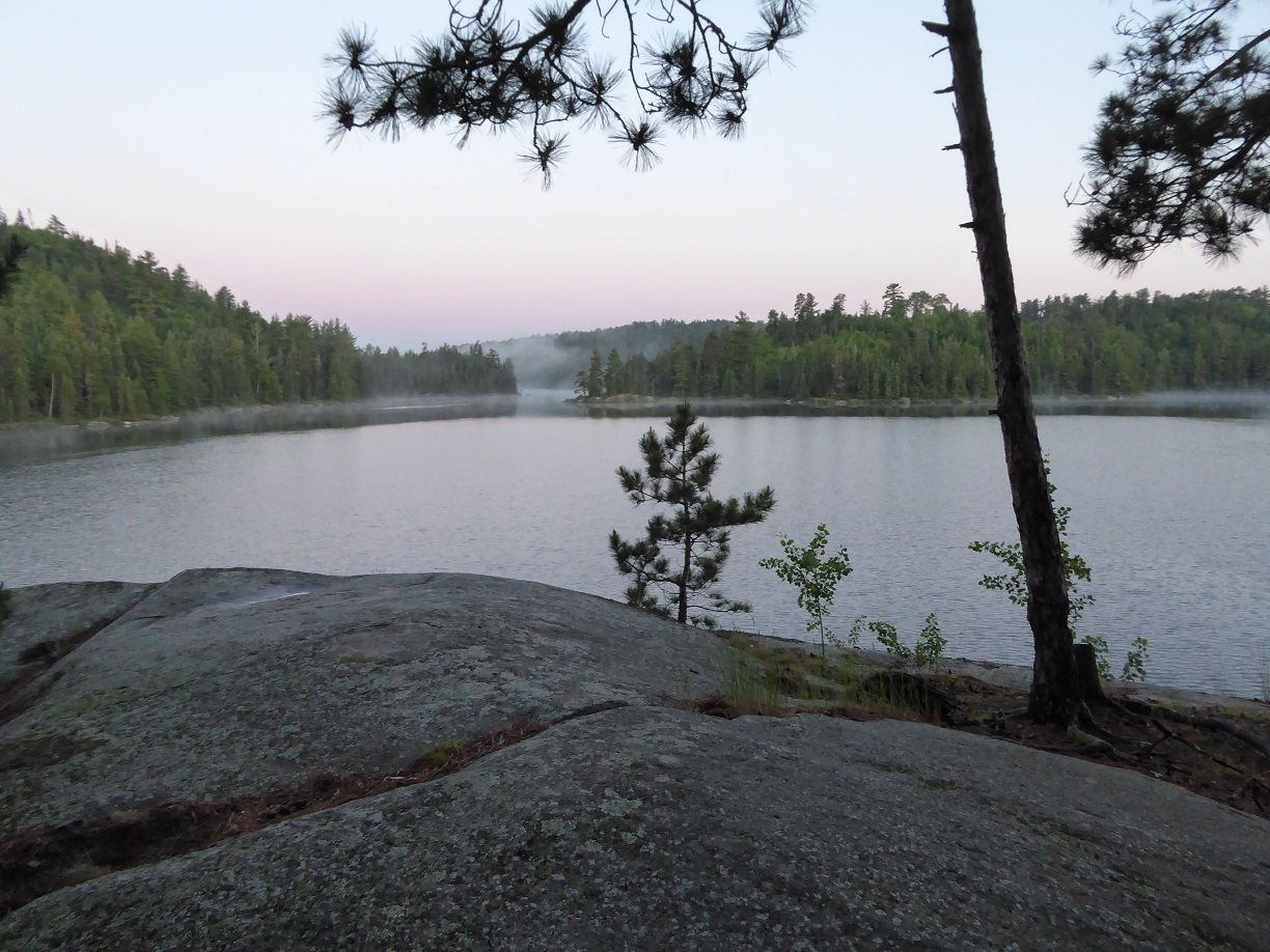
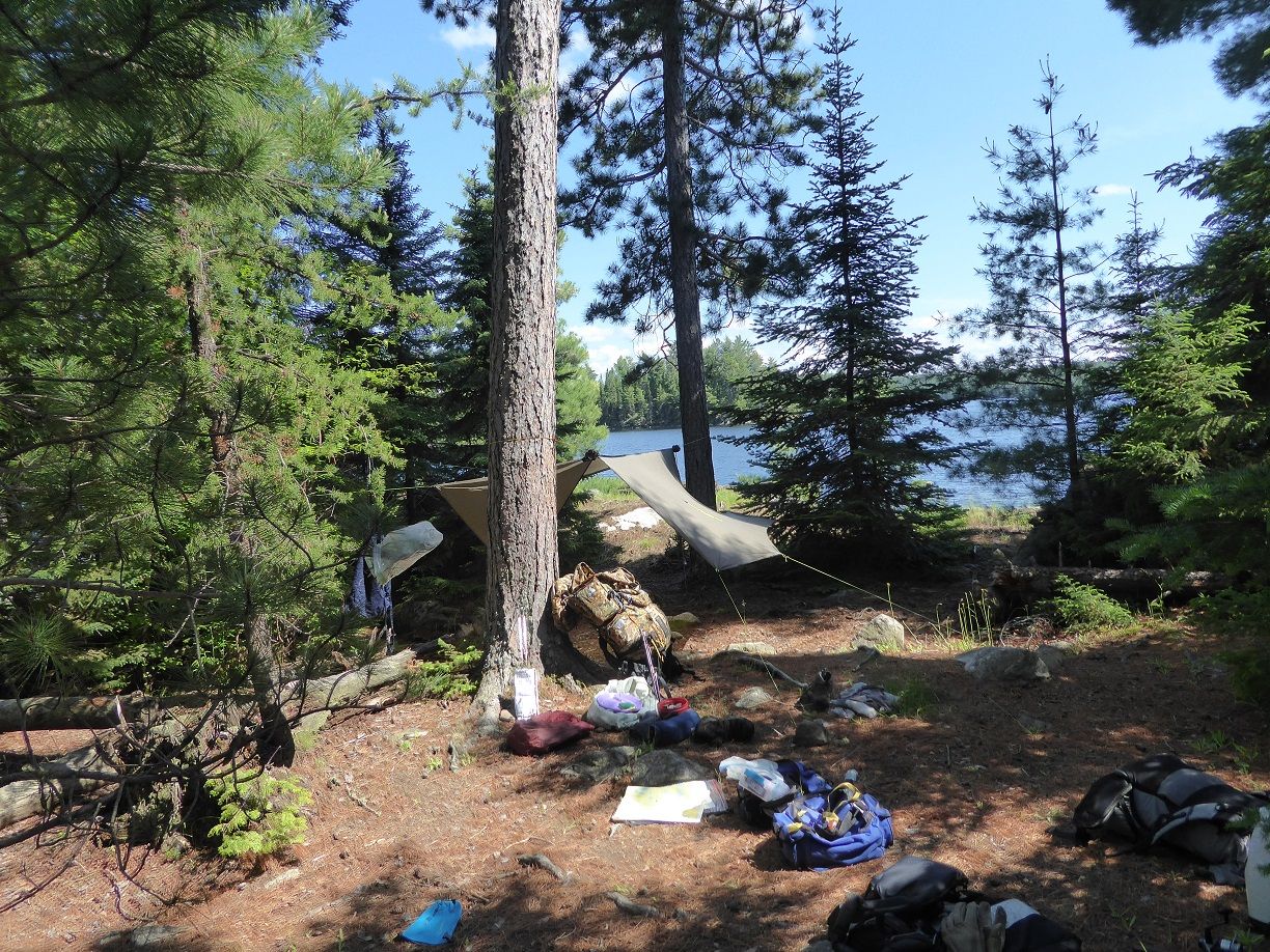
Day 2 is a layover day and I plan on exploring around Scripture Island. This is a nice camp site with nice views of the lake.
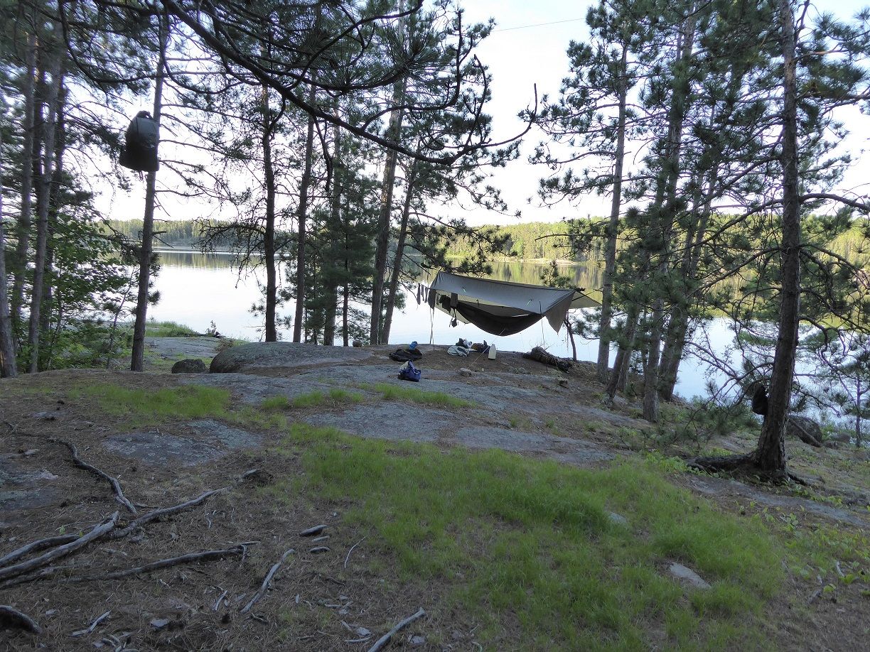
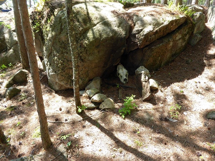
There was a moose skull behind a rock in camp. Set my spot to track mode and went exploring. While out exploring I talked to a group with 2 canoes that asked for directions to Tubman Lake. I told them which way it was from where we were and to turn their bent shaft paddles around and they would work better. I caught a few walleyes but let all of them go because I want to lighten my food pack. My body is still recovering from yesterdays long day of travel. I have seen 3 canoes today. For supper tonight I am having the last of my frozen ham and tomorrow morning I will finish my fresh eggs. Set my spot to send an “I am OK” message” By 8:00 PM I am in the hammock. In the middle of the night while doing natures call I noticed the sky was clear and I could see all the stars in the little dipper.
6/14/15
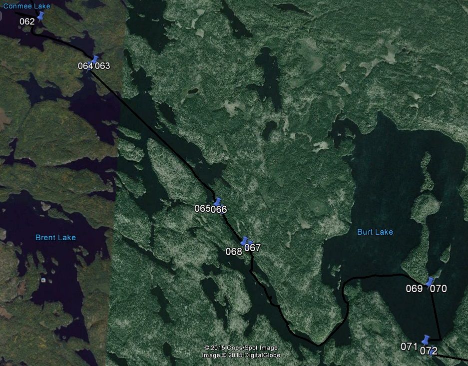
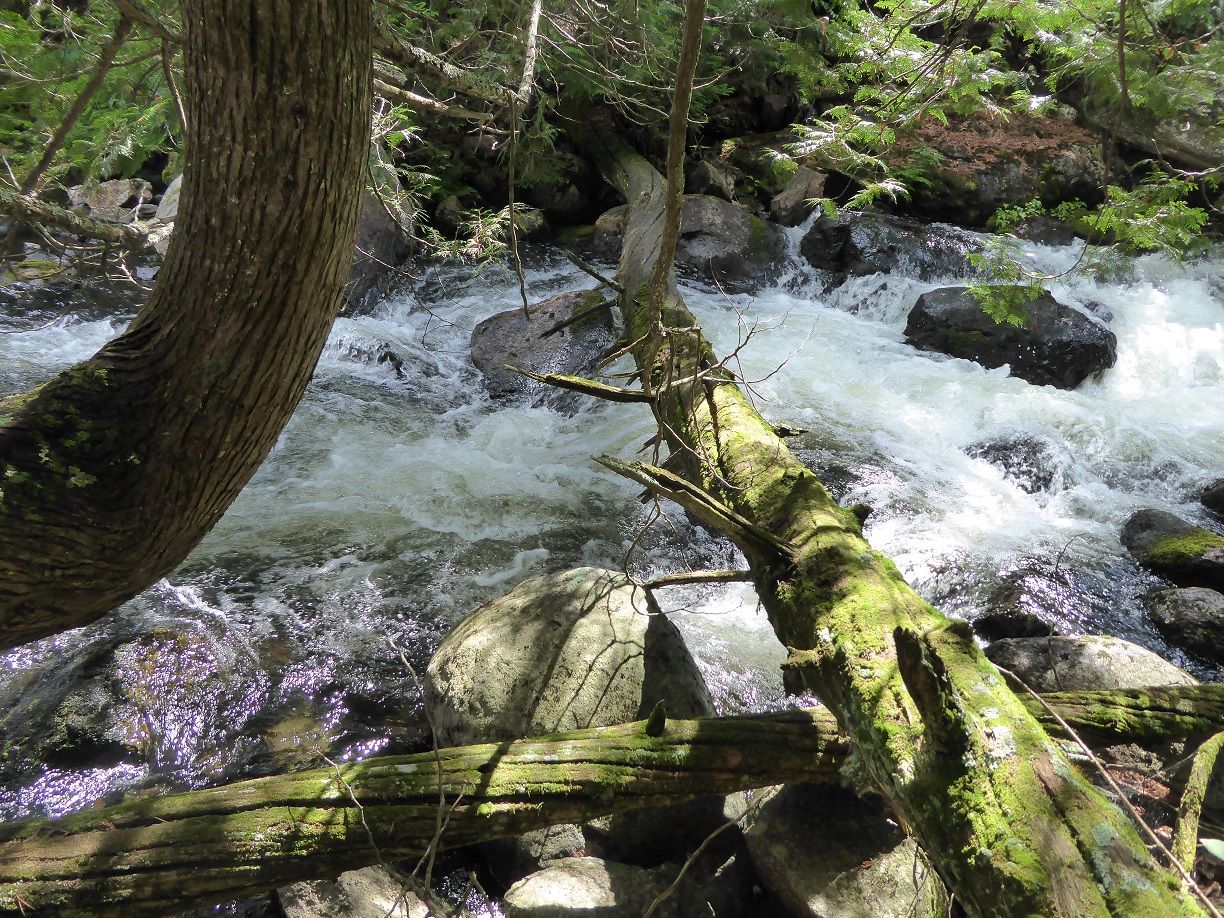
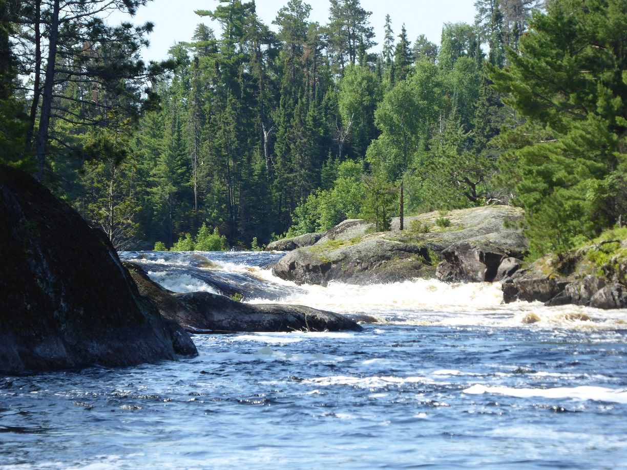
Day3 As I am packing up fog started rolling out of Sturgeon narrows and filling the area where I will be heading. Set my spot to track mode. Shortly after I was on my way the fog cleared. Looking at my tracks on Map2 you can see where I spent some time looking for the rout in the wrong location. I was soon on to Allen Creek which I have read many tales about its portages.

 Reply With Quote
 Bushwhack
 BushWhackCamp
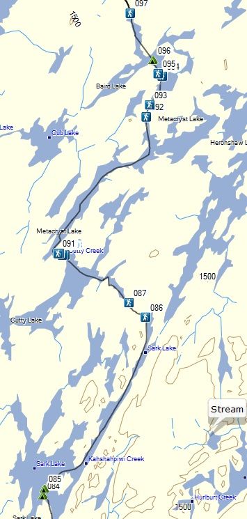 BairdJPG


Bookmarks