


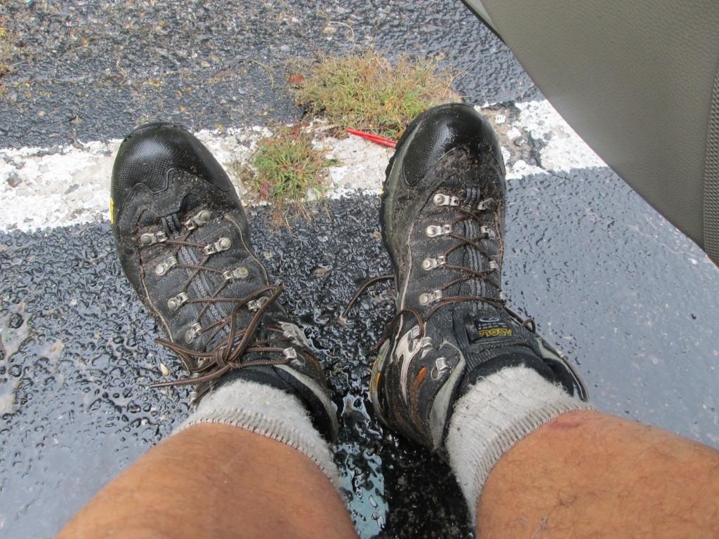
I usually do the NCT-MRT trail once a year as a 2-3 day loop and finally got up there in mid September. Looking over my maps and the North Country Trail, I had a couple of goals: getting more miles in, night hiking, and experiencing a different section of the North Country Trail. I also wanted to mix it up a bit from my usual clockwise hike from Red Bridge Trailhead. So, I purchased MI-05 Freesoil Trailhead to M-86 and laid out my trip. Weather conditions looked decent, with highs in the 60s and 70s during the day and lows of 40 to 60 at night. I knew rain would most likely be coming in Friday evening and probably sticking around on and off for the weekend. That meant bringing along my tarp doors, UQP and switching my Keens for my gore-tex Asolos. Im glad I had this gear, because it made the difference in staying dry and comfortable.
Day 1 (9-18-14): North Country Trail High Bridge Trailhead to Sawdust, 5.4 miles, 2 hours
I got on the road around 3:00 PM, putting me up at the High Bridge Trailhead at 6:30 PM, after driving 198 miles. My initial plan was to hike about 1-2 hours and camp along the river somewhere in the area of Leitch Bayou. Sunset was at 7:45, so I wanted to be getting settled in for the evening before it got dark.
I paid the $15 fee to park and got my Huron-Manistee National Forest pass. Note: I could have parked in the dirt hiker lot on the southwest side of the river for free, but decided not to, since there were no other cars there and it looked a little desolate to leave a car for 4 days. The official paved lot I was in had a toilet, info kiosk, and about a dozen other cars and boat trailers, so I kind of felt more at ease parking there.
It was now 6:30 PM and I was on the trail. Crossing High Bridge Road, the first sign I came to said the NCT was closed due to a washout and that Id have to detour. Nice way to start a trip! So, I followed the detour for about 5 minutes as it followed High Bridge road north. Mulling it over, I turned around and decided to follow the regular NCT. I figured, how bad could it be? The trail I was on was fine and I couldnt see why it was closed. About a half mile later I passed the old Pere Marquette RR bridge foundations and shortly after that, came to the reason for the detour: there was a 50-70 foot section of trail totally washed out.
Since it was midway up and the angle was steep, there was no way Id risk it. So, I backtracked back to the foundations, scrambled up the hill and found the easy path of the NCT re-route on a two track. Lesson learned. After getting back onto the main trail and enjoying being in the woods again, I had a porcupine walk out in front of me and go up a tree.
The NCT follows the edge a ridge and eventually it starts dropping down to Leitch Bayou, where I had planned to camp. Dusk was starting and after being in the bayou (and scaring up some deer), I realized that this was no place for the hammock. The grass was high, the area was mostly wide open and most of the trees were dead, plus there werent really any good spots to hang. Also, it was a lot cooler down there and the dew that was already forming on the grass would have made for an uncomfortable night. It was past dusk, so I pulled out the headlamp and kept going in the dark until I climbed out of the Bayou and found the sign for Sawdust Hole Campground to the north. The trees in the area were nice and open, so I just hiked into the woods a bit, found a spot and settled in for the night. It was in the 50s now, but it was clear with no chance of rain. Im glad I had pushed on, because I knew that I had a big day tomorrow and getting in the extra miles would help. I slept great that night and was glad I brought the 20 degree down TQ.
Day 2 (9-19-14): Sawdust Hole-NCT to MRT Eddington Creek, 19.31 miles, 7:46 hours
The next morning I was up by 6:45 and started to pack up. I didnt feel like much breakfast, so I skipped the coffee and just had cereal w/powdered milk and a breakfast protein drink. In fact, I had no appetite for the whole trip for some odd reason, even with the amount of miles I covered. Later on I realized that the aspirin I was taking had caffeine in it, which according to my doctor friend, is a appetite suppressant. My plan for Friday was to continue on the NCT, jump off at Upper River Road trailhead, water up at the Red Bridge water pump, then go up the MRT and stay at the Waterfall #3 site, estimated at 16 miles away. By 7:45 I was on the trail and headed to the Upper River Road trailhead on the NCT 5.8 miles away.
The trail was in good shape, had some occasional nice views of the river and pretty much stuck to the edge of the ridge. One section even took me through local Tribal lands. I had the occasional blow down, but otherwise I made good time and got the familiar Upper River Road trailhead intersection, then headed down the hill and made my way 1.2 miles to Red Bridge, arriving there by 10:30. After a short break, I headed back north on the MRT. This was my first time doing it in this direction so it seemed kind of new to me. I passed by all off the familiar views, campsites, streams etc. then passed Slagle Creek. Temps were in the low 70s, with a little breeze and the hiking was perfect Just a matter of moving along and enjoying my time out there. Id passed a few other hikers today on this section, but on the entire NCT section south of the URR trailhead I hadnt seen anybody. It was early afternoon and I ran into a big group heading south. It turned out that one of them was HF member Pointpastor, so I introduced myself to him and talked a bit. The break felt good, since I was already about 13 miles into my day.
The MRT always has some nice views, especially from campsite #6, where Id ground dwelled in the past. Still thinking that #3 would be my spot for the night, I looked at my maps, did some quick calculations and realized that I really needed to push on to Eddington Creek instead, making for a longer day today, but also making my next day a little shorter. Weather was still good, but I knew that a storm would be coming through and that Id have to deal with rain for the next two days. I had my phone on and I got a text, then a call from HF member Wolverine, who had been watching the weather radar. He informed me that a bad weather front was on the way, so I filled him in on my amended plan. By the time I got up to #3, there was already a father/son group with a big pile of gear. Turns out they drove in via a nearby 2 track, and were planning on car camping there for the weekend. In nice weather, it would have been a great spot, but it was pretty exposed and because of the front coming in, I wouldnt have risked hanging there.
Sometime after 2:30, I passed the suspension bridge over the river and rejoined the NCT, heading south to my destination: the pines on the south side of Eddington Creek. Finally, at about 4:30, I got into my site, after doing 19.31 miles, a new record for myself. It was a long day, but I felt proud of my accomplishment. I set up camp, pumped my water, cooled down in the creek downstream, then relaxed with a beer. Dinner was Alpine Aire spicy sausage pasta, which was horrible (note review at REI under michigandave).
By 6:30, the winds started picking up and the front was moving in. The tarp doors were deployed and the UQP on just as the rain started, so I just relaxed with a book and got my gear organized for the next day. Temps were in the 60s and I had all of Eddington Creek to myself for the night. By 8 it was dark, and I ended up crashing by 9:00. All in all, it was a great day and I really got to put in the miles. The first storm front rolled in by midnight, then hit again around 5 AM. Heavy rain, winds, lightning .Everything held fast and I just rode it out until daylight.
Day 3 (9-20-14) Eddington Creek to Sawdust Hole, 14.6 miles, 7 hours
Awaking to heavy rain at 6, I just relaxed, dozed back to sleep and waited for daylight to start my day. After I got up I heated water for coffee and had the proverbial breakfast in the hammock. According to my phone (note- I had pretty good coverage on ATT for most of my trip), severe rain and storms were in the forecast, and would be sticking around the rest of the weekend. By quarter to nine, with raingear and pack cover on, I headed out onto my favorite section of the NCT.
Temps were in the 60s and I ended up taking my raincoat off after 20 minutes...That would be how the day would go: rain, then no rain, coat off, rain again, coat on etc .Once again, I passed a few backpackers and just got into the groove of being on the trail I took a few breaks along the way and stopped for pack off breaks at Red Hill Lookout and the Upper River Road intersection at the 8 mile mark for the day. I checked the weather on my phone and got another update from Wolverine about another nasty front moving in. It was early afternoon and the temps started to cool down and the cloud cover was increasing. With raingear on and pack cover secured, I continued on my journey south, with a possible destination of Government Landing (12 mile day). By the time I got south of Coates Highway, it was really getting dark and it was only a little after 1 PM. Now, the rain & winds hit, with the occasional far off thunder. Every once in a while Id see a lightning flash in the distance and would constantly be on the lookout for a spot to shelter if it really got bad. A couple times, the rain hit hard and Id have to stop and find a dry spot to wait it out on the lee side of a tree. The front moved out (for now) and I looked for the 2 track that would take me to Government Landing.
I was still thinking that it would be my spot for the night, but I wanted to check it out first. After finding the trail and exploring the campsites, I decided to pass and head to Sawdust Landing instead. I couple reasons for my decision: it was too early to stop for the day and it would make my last day on the trail over 10 miles, rain and storms were still going to be around Sunday, plus the easy road access into the campground made me feel uneasy about hanging there for the night. Back on the trail again, another storm hit, with lightning and thunder nearby. It was sometime after 3 PM, so I just trudged along. I passed a group of car campers setting up off of a 2-track and they offered my some trail magic of bratwurst, but I had to pass. I was already getting tired and if I had stopped, getting moving again would have been tough. I also had a break in the weather and just wanted to get into my spot and call it a day. After a total of 39.3 miles and a 15 mile day, I finally rolled into my site around 4:30 near the Sawdust Hole-NCT intersection.
The rain hit again within 30 minutes of setting my camp up. With porch mode deployed, I heated up water for hot cider & hot chocolate. I still had another Alpine Aire meal (chicken gumbo) but it didnt appeal to me, so I filled up on trail bars, beef sticks & cheese, plus finished off my gorp. I spent the remainder of my evening just relaxing, reading, and enjoying the sound of rain on my tarp. The winds werent too bad, but I did use the doors again and settled in for the night. I was glad I had pushed on knowing that I only had 5 miles or so the next day was a big relief.
Day 4 (9-21-14) Sawdust Hole to High Bridge Road Trailhead (and car) , 5.6 miles, 2 hours
I slept pretty good that night, but the storm front rolled in again, with more rain and thunder. Waking around 6:30, I had breakfast, packed, then waited for a break in the rain, so I could pull down my tarp and stow it in a plastic bag. By now, everything was feeling damp, especially my pack. Going with just shorts and raincoat, I was on the trail by 7:45 AM, with a couple hour hike in front of me. I headed down the hill and back into Leitch Bayou. Last time, it was dark when I had gone through, so seeing it in the light, it looked new to me. Hiking alone in the morning along the river was special and I really enjoyed the feeling of solitude along this part of the NCT.
After 2 or 3 miles, I climbed out and up to the ridge (over the occasional blowdown), then got to the detour section of the trail. This time, I stayed on it, following an easy two track through the woods, as once again, another from moved in and the skies darkened. More rain as I worked my way back to the High Bridge Road trailhead and my waiting car. At 10:45 I arrived, after having walked 44.9 miles at an average speed of 2.4 mph in 18:37 hours. I changed into a fresh shirt & sandals, made a fast food stop in Cadillac, then headed home, arriving a couple hours later in Clarkston.
Closing thoughts:
For me this was my longest trip ever, I had my biggest day (19.31 miles) and it ranked in my top 2 trips for adverse conditions (ie rain) to have to deal with. Physically, I felt great after being home a day or two. When I got on the trail the first evening, I was winded on the hills (hadnt done a trip in 5 weeks), so I was a bit out of shape. By the end, I felt like I was in condition again.
I enjoyed experiencing a new section of the NCT and I had it all to myself. I never saw another backpacker between High Bridge & Upper River Road. When I researched this section, I never found another trip report, but I did have a good trail guide to follow. Mixing this up with the NCT-MRT made the trip interesting and gave me lots of options. Even with the rain, it was still an enjoyable trip and I got to cover some new ground.


 Reply With Quote
Bookmarks