


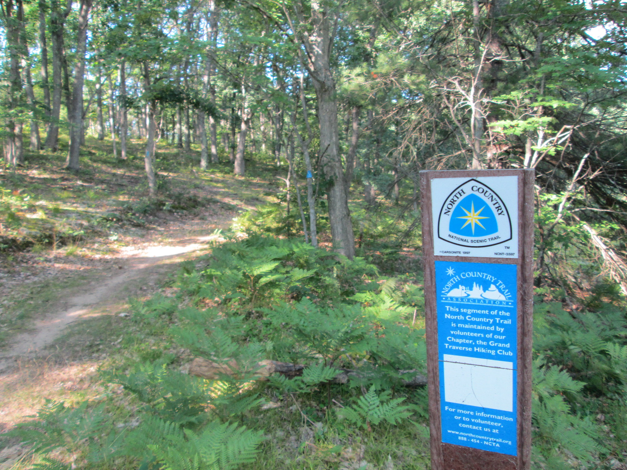
This would be the longest trip and biggest mileage so far in my quest to section hike the North Country Trail through Michigan. After this leg was completed, I figure Ive done roughly 475 miles of the 1,150 miles of trail in Michigan. Of the 1,150 miles, 800 miles of those are trail with the remaining miles being road walks. Id have a few of those on this trip. The section I hiked is managed by the Grand Traverse Hiking Club and the Jordan Valley 45 Chapter. Im pretty much done hiking the Lower Peninsula and have the UP almost done to Munising. To continue on my NCT section hikes, Ill have to start working on the trail west of Munising.
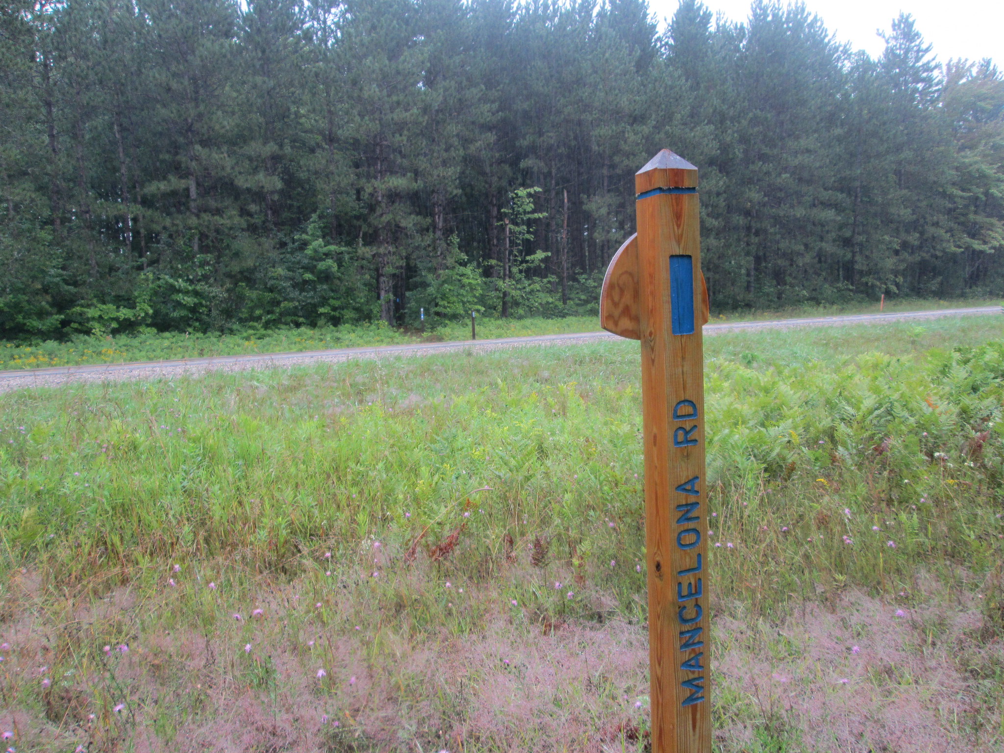
This time I set my sights on picking up the trail at 186/Fife Lake (where I left off in 2015) and head north all the way to the Jordan River Valley to meet up Saturday with HF members at the Pinney Bridge Campground. In April and July 2017, Donk67 and I did the 80 mile section north to Mackinaw City, so that section is completed.
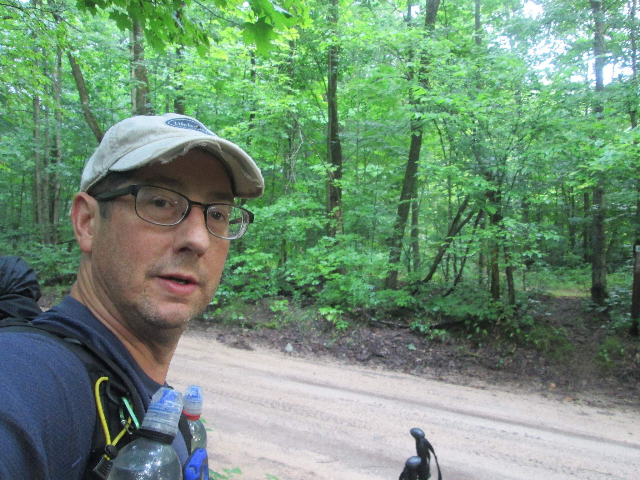
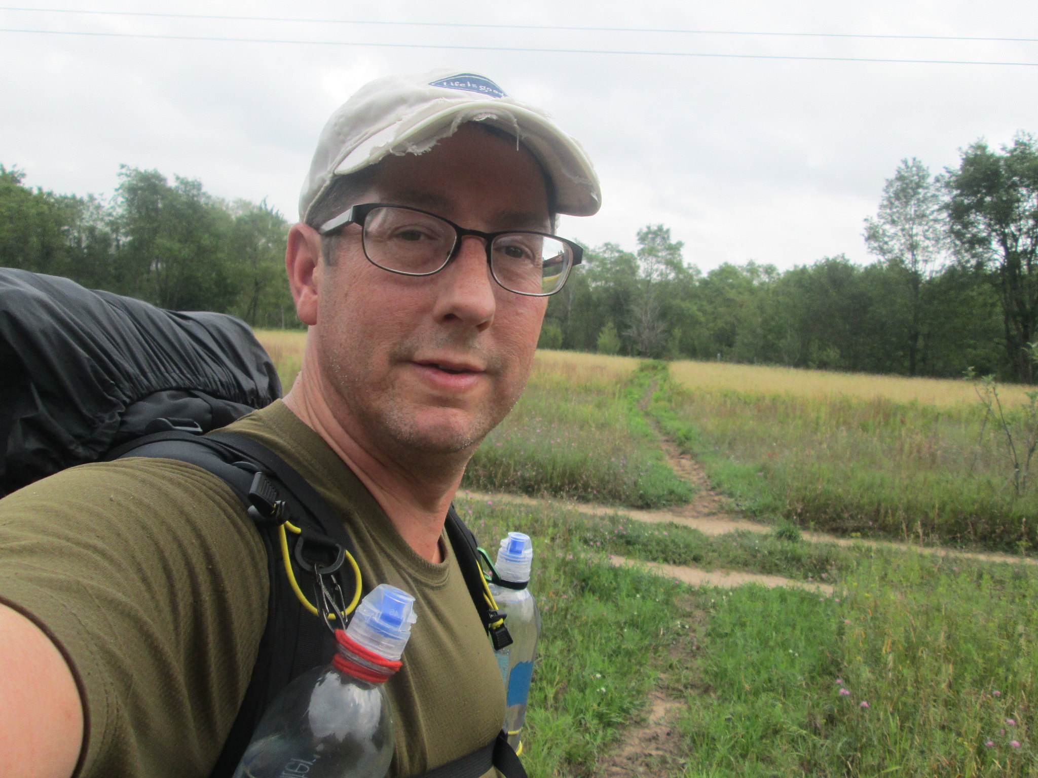
For gear, I went with my Ohm 2, SLD Trail Lair, my 40 degree HG Phoenix and EE Revelation TQ, and my HG CF Tarp with doors. With the rain that I had, those doors saved me! I made the switch from boots to shoes, so this was the first trip with my Merrell Moabs, which performed well when dry, but when wet, I had a few issues more on that later. Temps on this trip would range from high 50s to the low 80s. Rain was in the forecast and that held true and made a tough two days. As per my tradition, this will be a long winded and picture heavy trip report.
Day 1 (Wednesday): Fife Lake to Sand Lake 1, 20.2 miles in 7:18
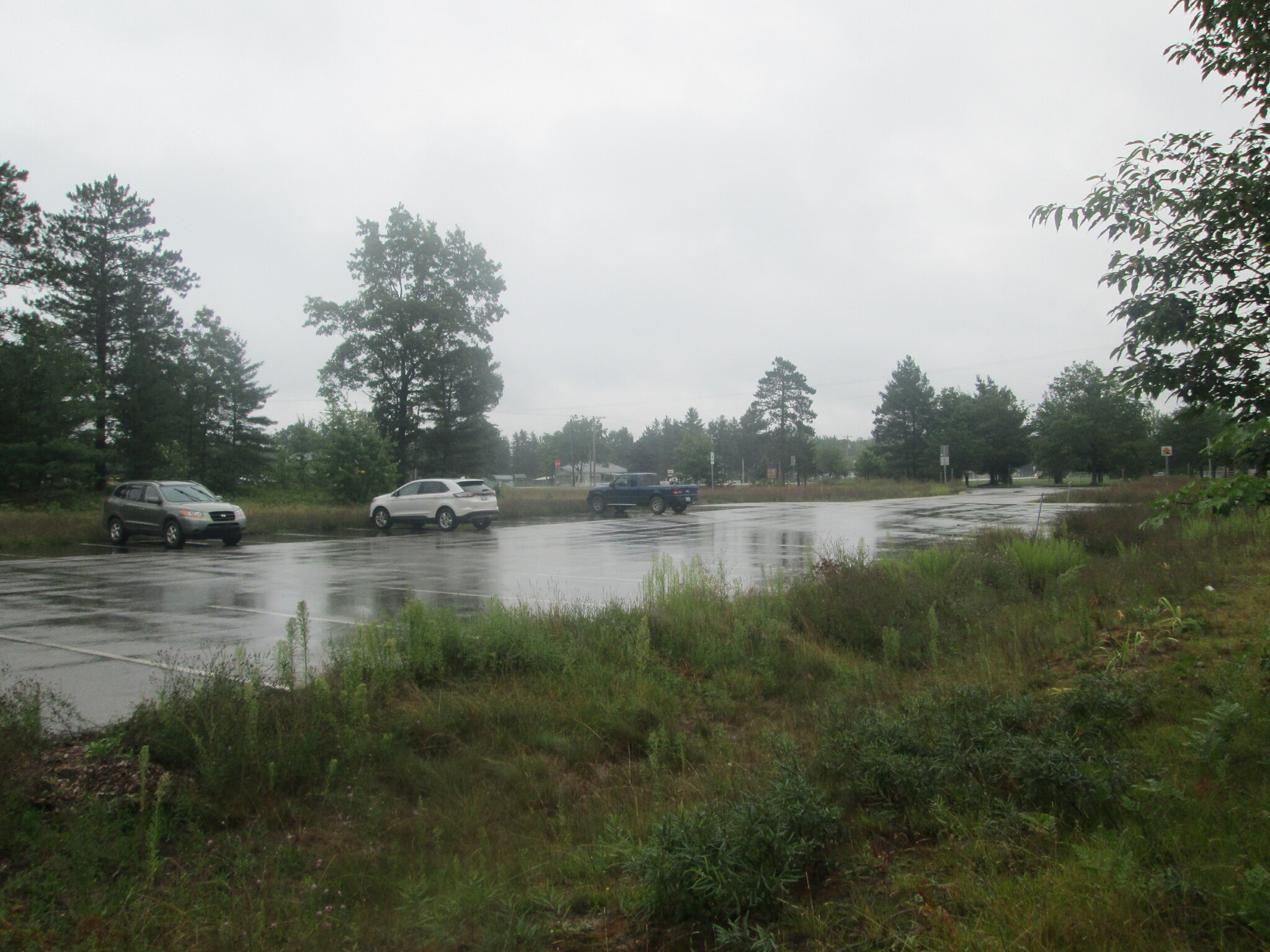
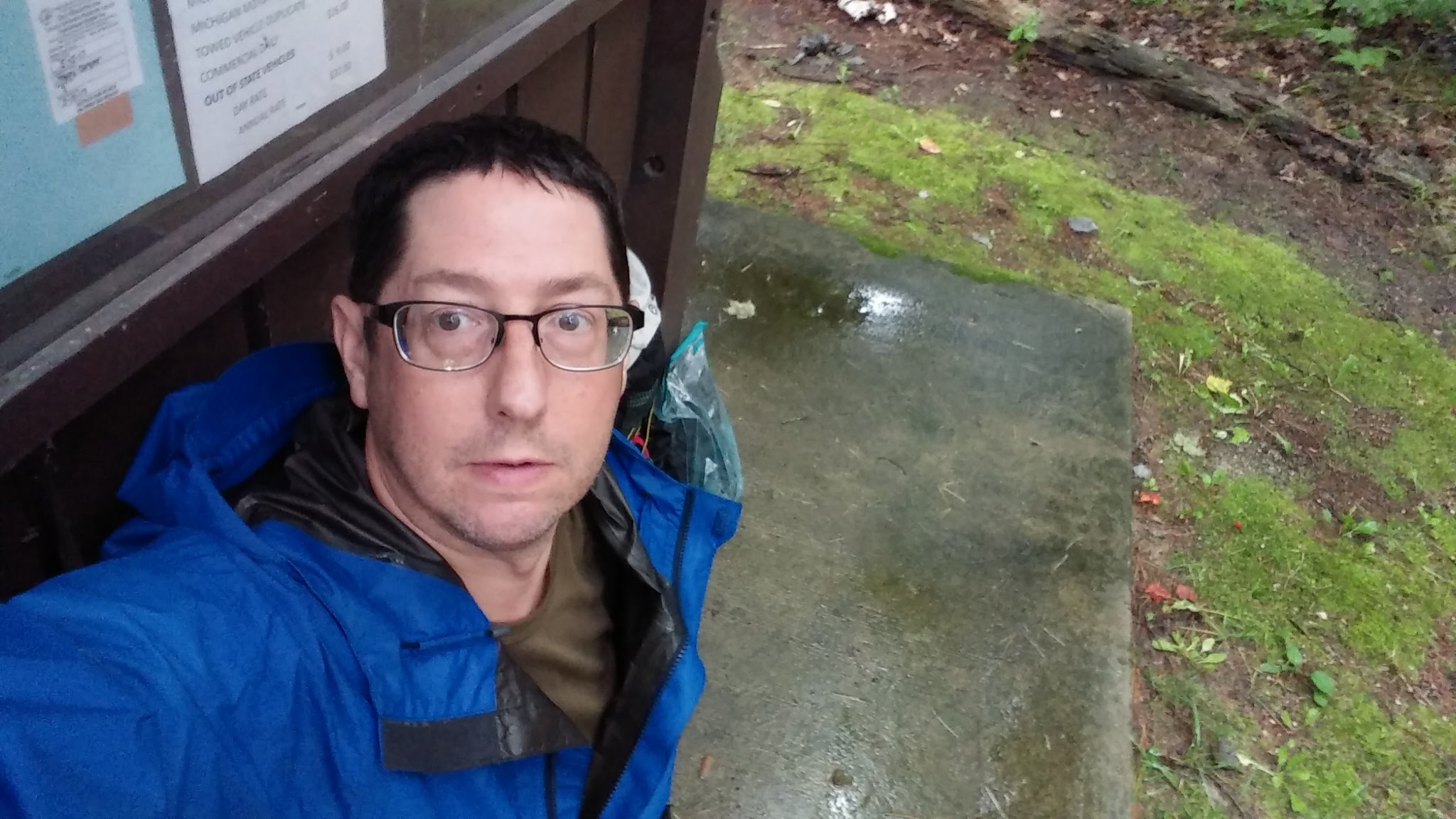
Leaving Clarkston at 5:00 AM, I made the drive up I-75 to Gaylord and rolled into HF member Turkeys house at 8:00. Id leave my car here and his wife Jenny graciously agreed to run me town to Fife Lake, an hour away. At 9:09, I was on the trail northbound, which turned out to be a dirt road for the first mile or so. I met a local out for a walk who asked if I had bear spray, since apparently theyve been active. I dont carry it, but do have something else, just in case. A few minutes later, I would meet the only pair of south bound backpackers Id see for the next 3 days, until I got to the Jordan.
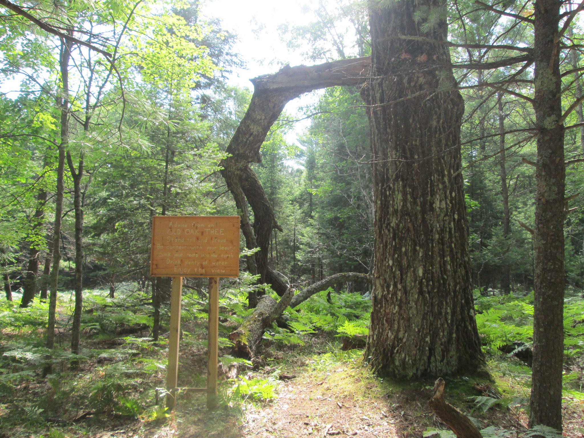
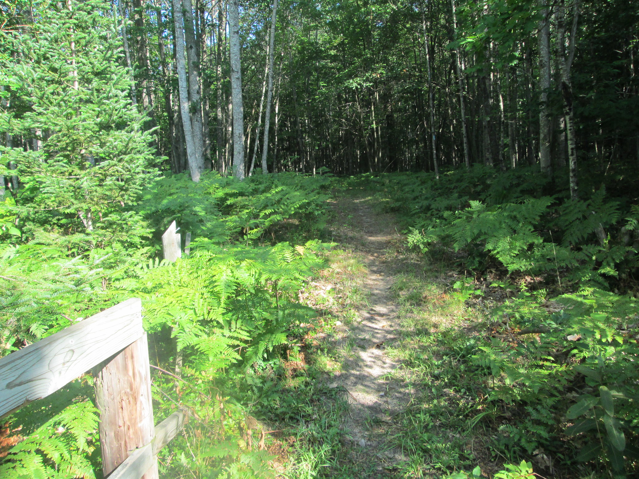
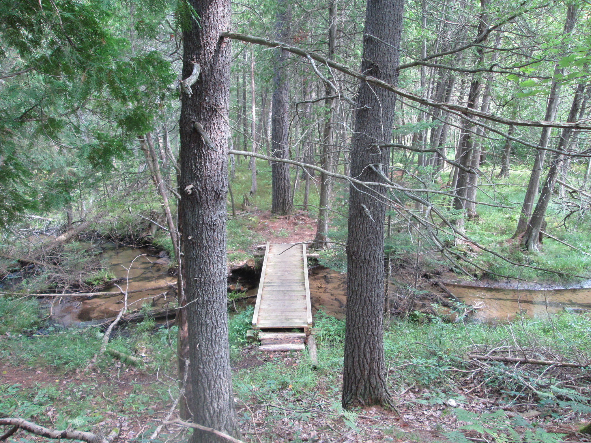
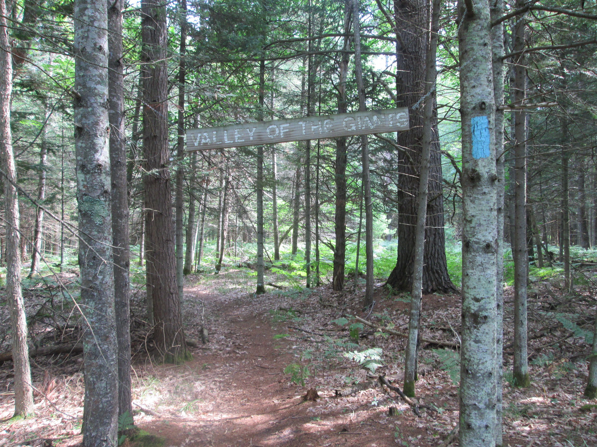
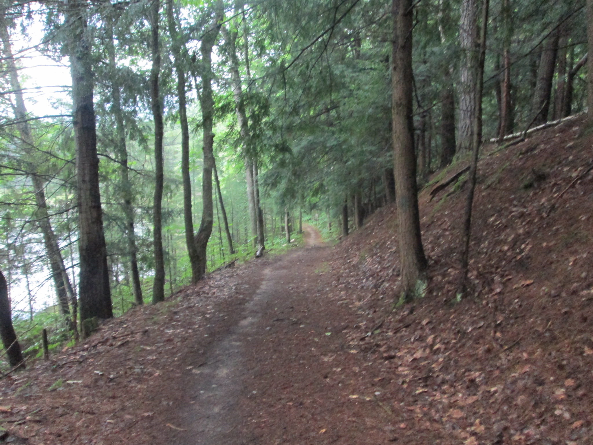
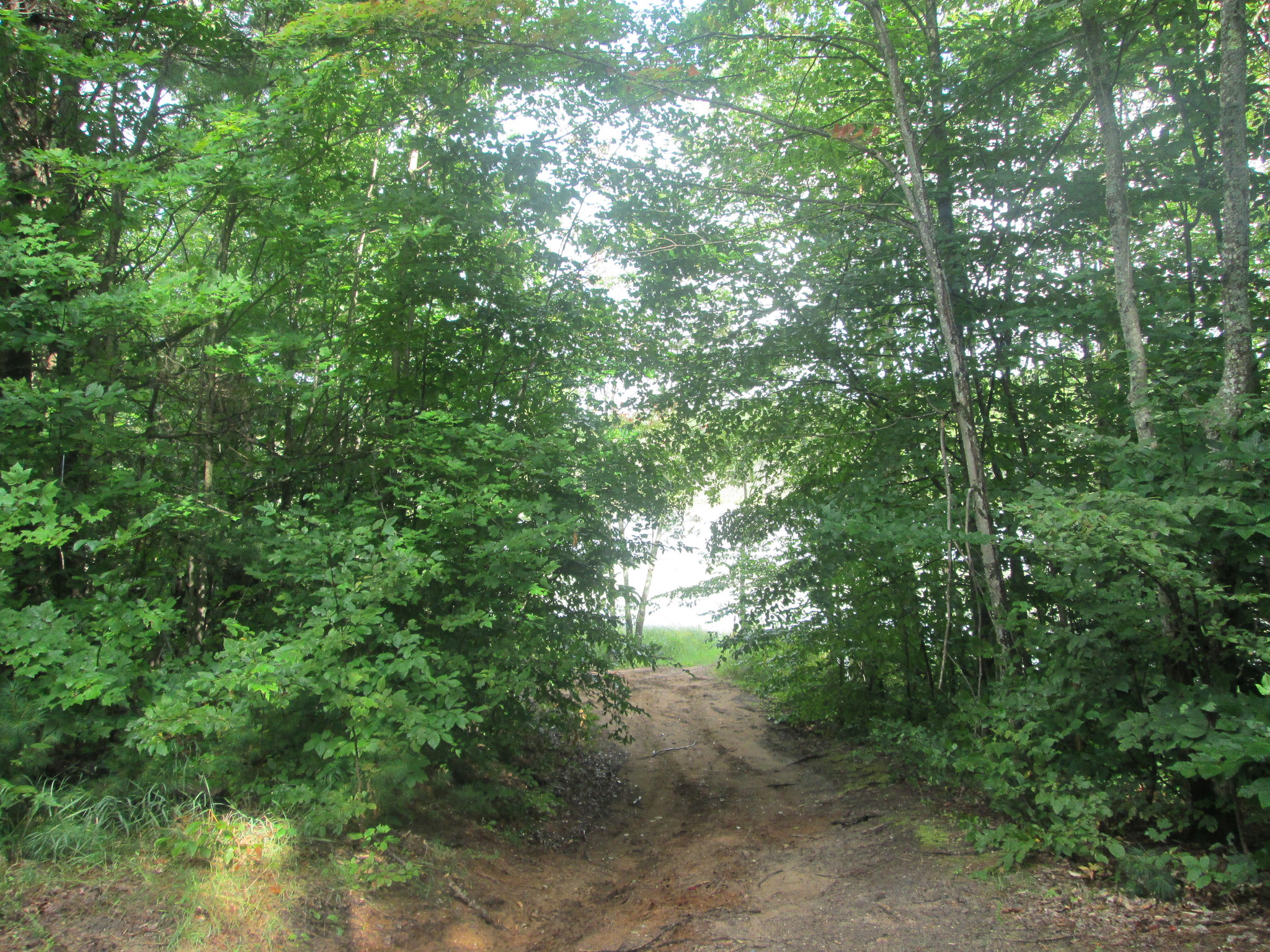
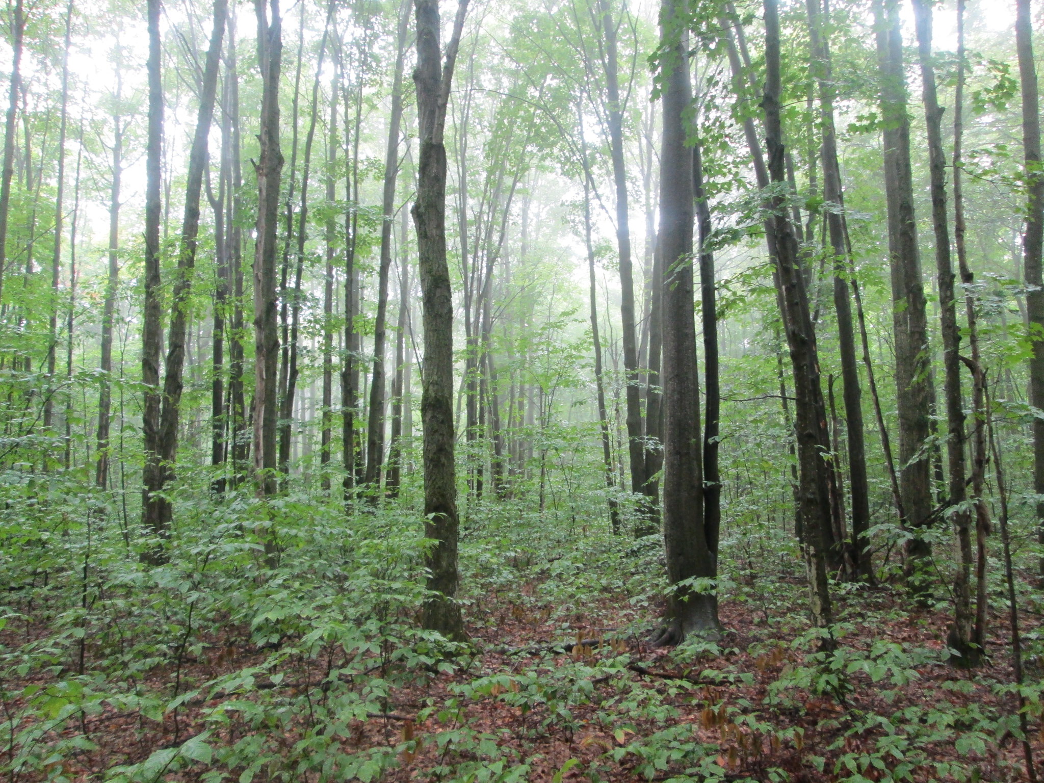
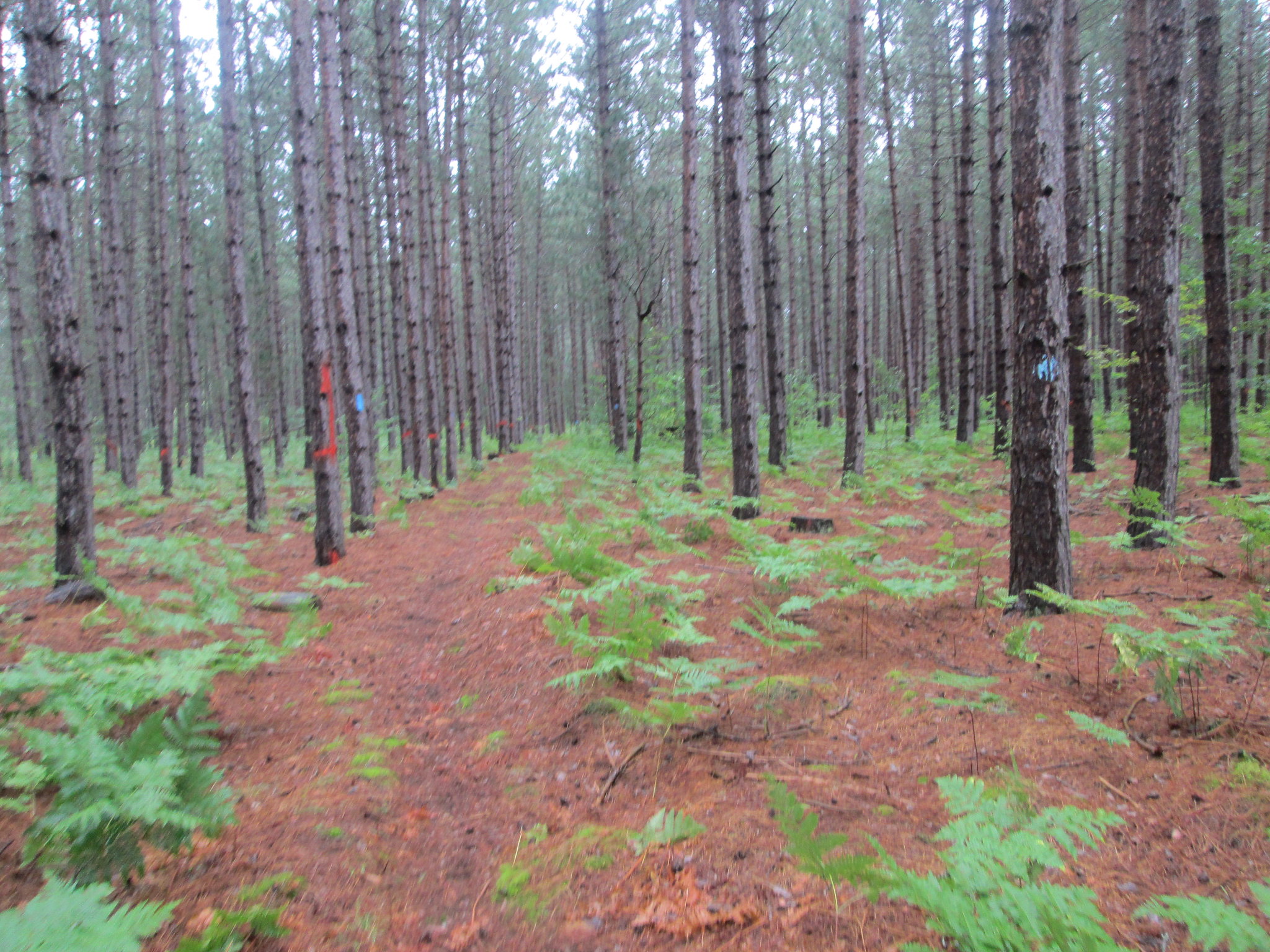
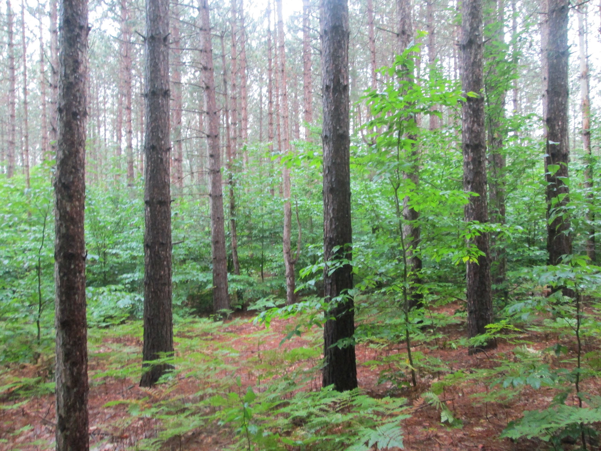
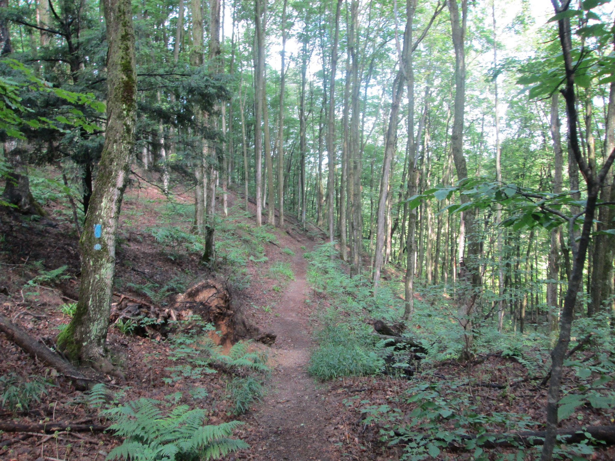
This was very scenic section of trail, since it follows some creeks, goes through the Valley of the Giants with the old growth trees and skirts part of the Boardman River. Water on this section was plentiful.
After about 9 miles, I crossed the Boardman River at Schecks Place State Forest Campground. It was 12:30, so I took a break at a picnic table, watered up and enjoyed what would be my last dry day on the trail. Temps were in the 80s and the sun was shining! It was a nice campground and there were decent hammock hanging options.
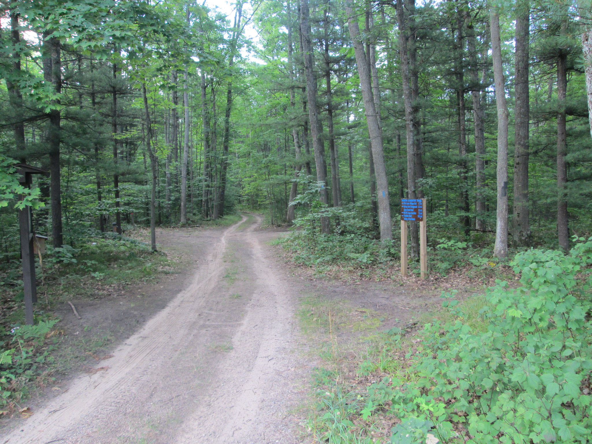
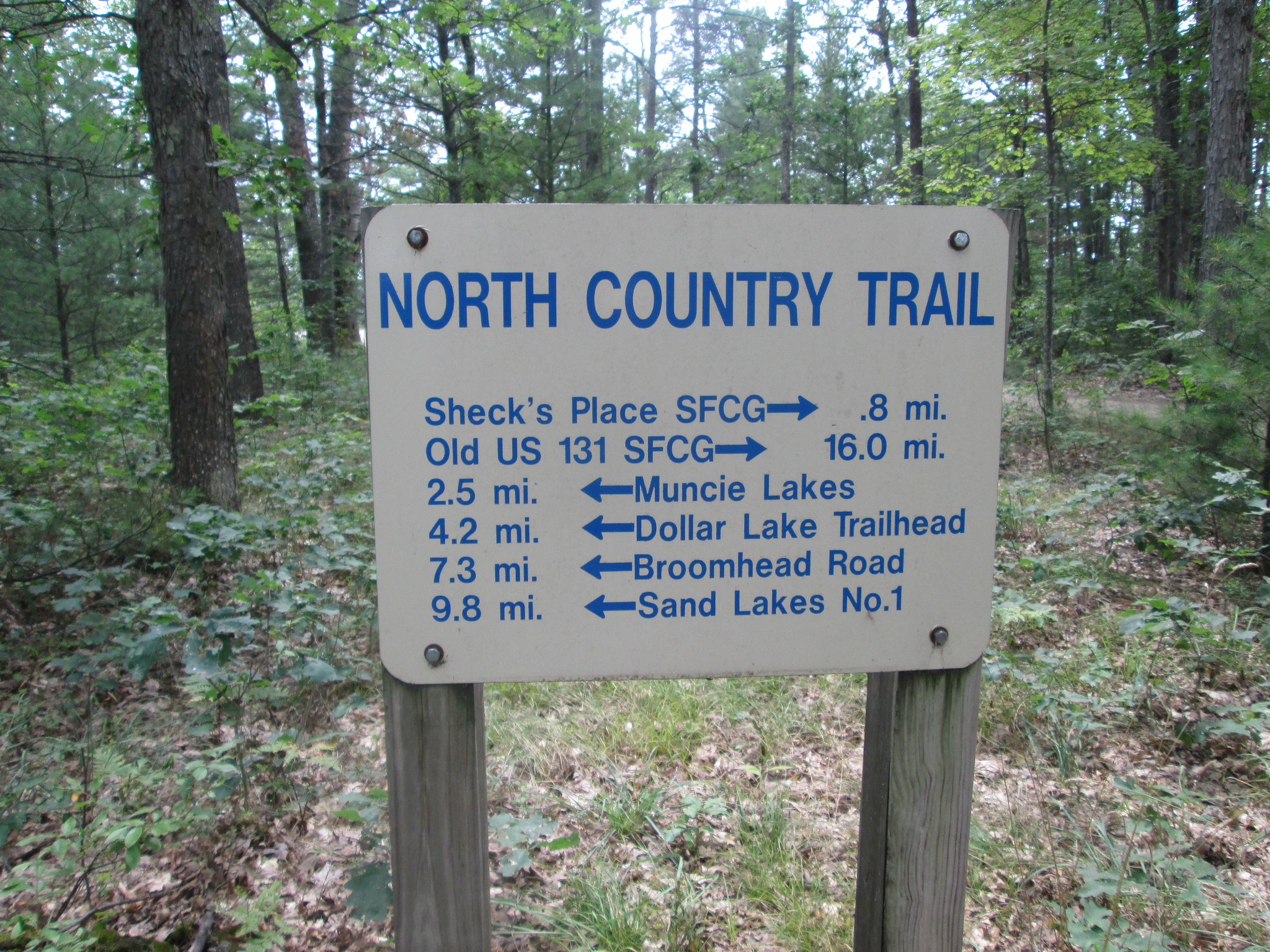
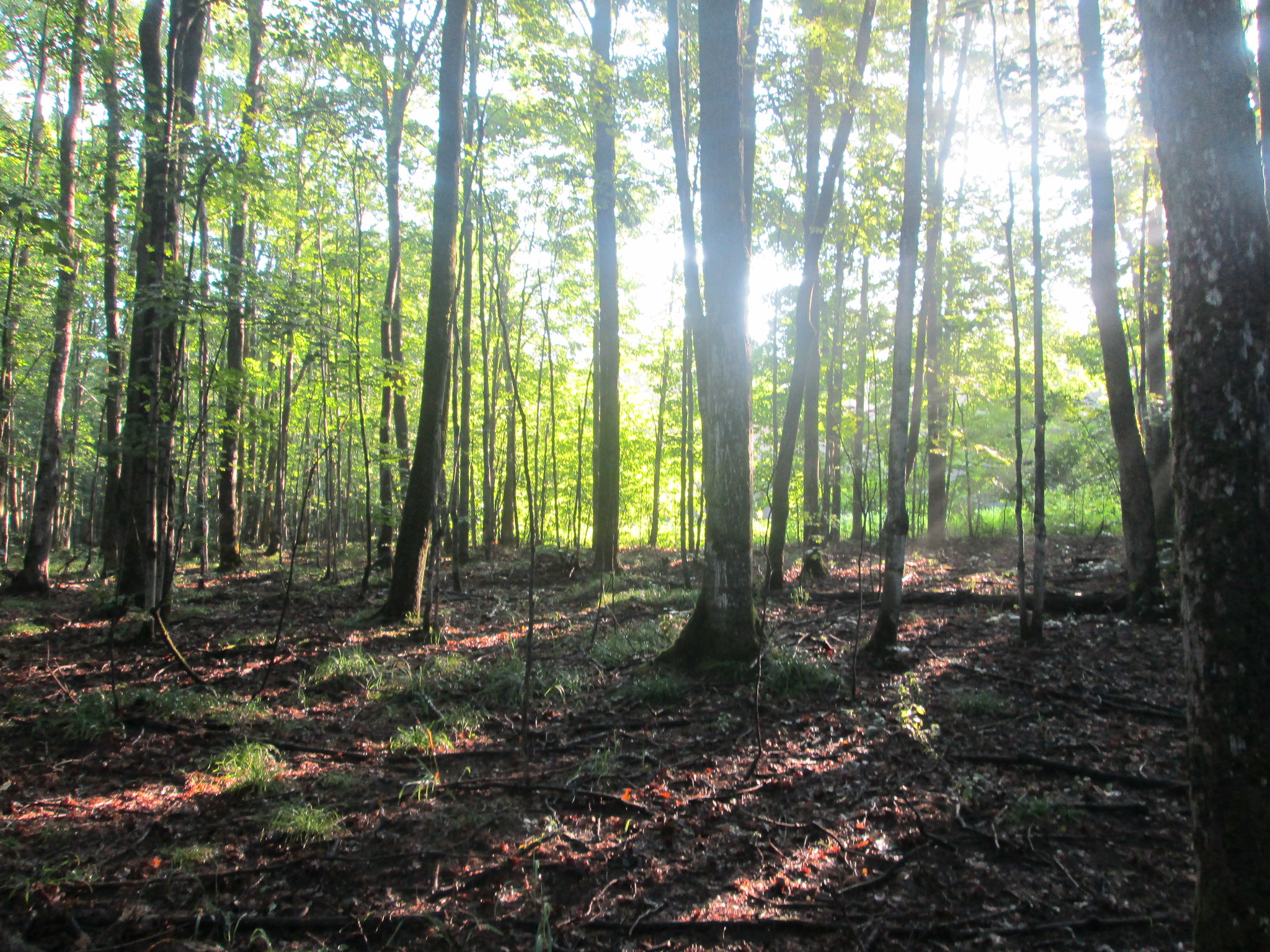
It was too early to stop for the day and I still had 12 miles to go to Sand Lake. Back on the trail, I climbed a small hill and eventually passed the Muncie Lakes Trailhead. Now I would enter the Muncie Lake area, with its shared network of trails. There was lots of signage and the trail was pretty easy to follow through the rolling woods.
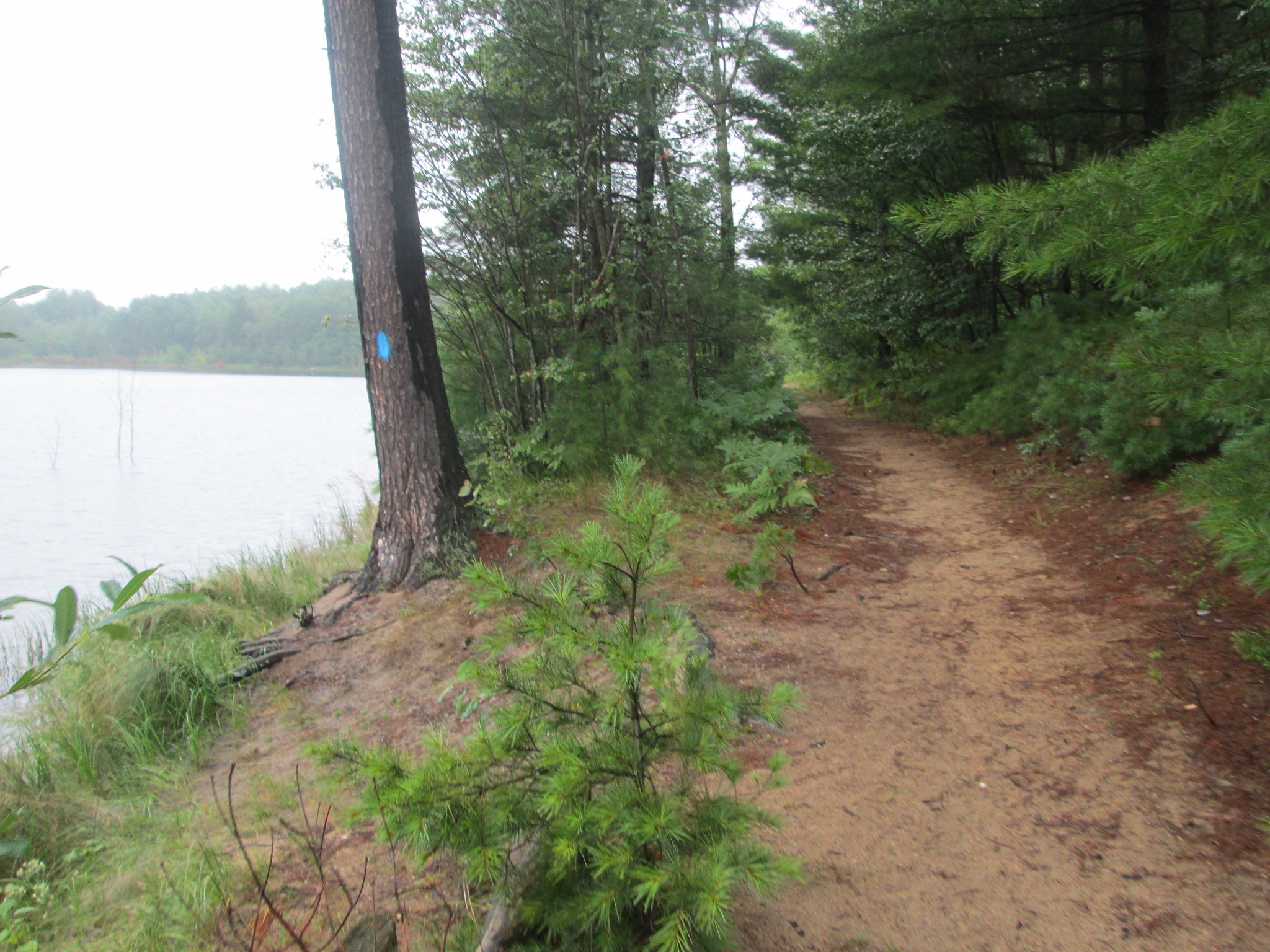
Eventually, I dropped into a valley and the trail followed the edge of Dollar Lake. This would have been a perfect lake to camp at or take an extended swim break. The NCT continued on for an easy walk in the woods and by clear rivers.
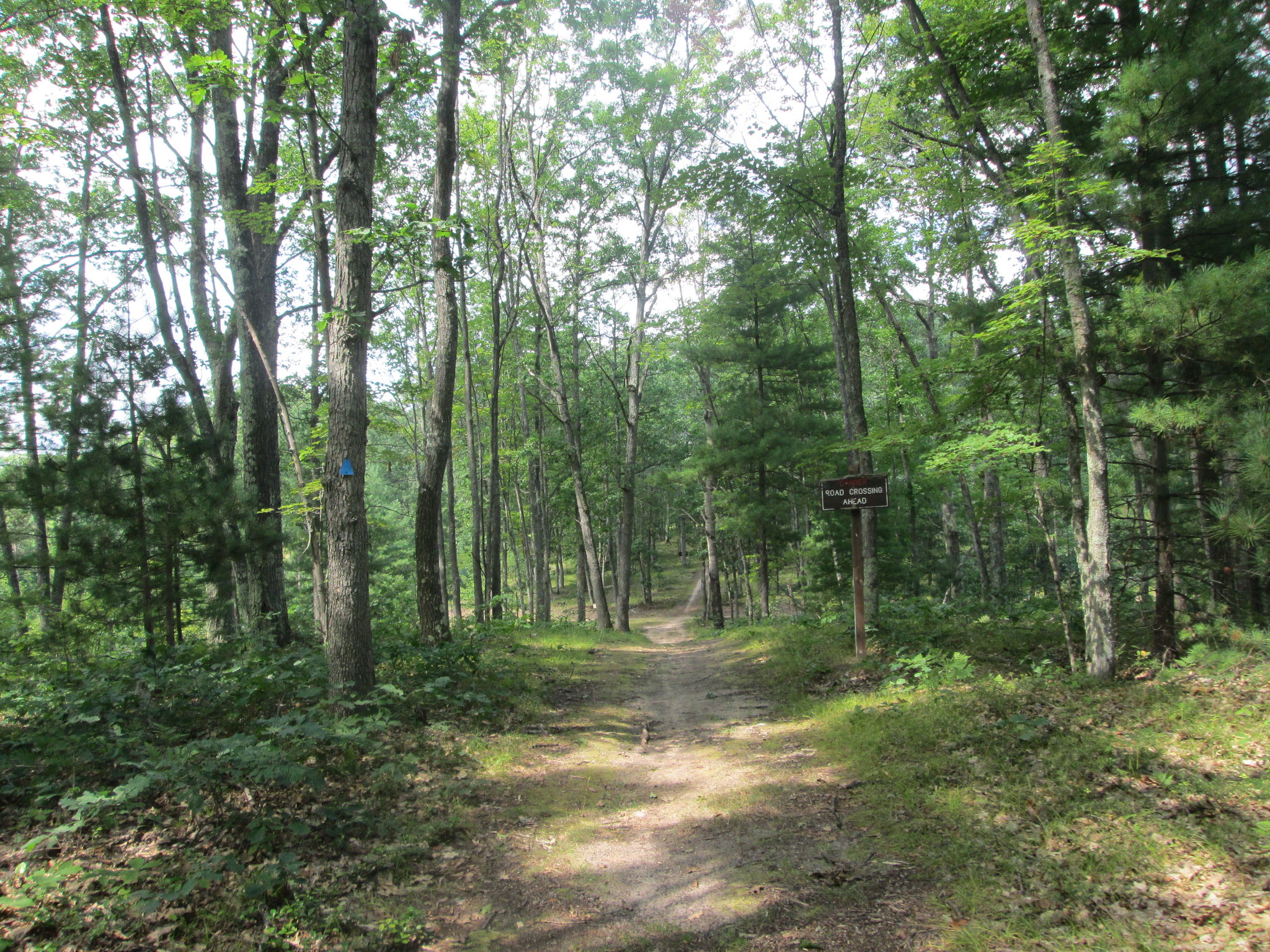
I did do some head scratching when the trail got near or crossed the Huron Shore to Shore Trail, that the horses would use. Once I got into the Sand Lakes Quiet Area, there were more trail markers and Id start to pass a few lakes.
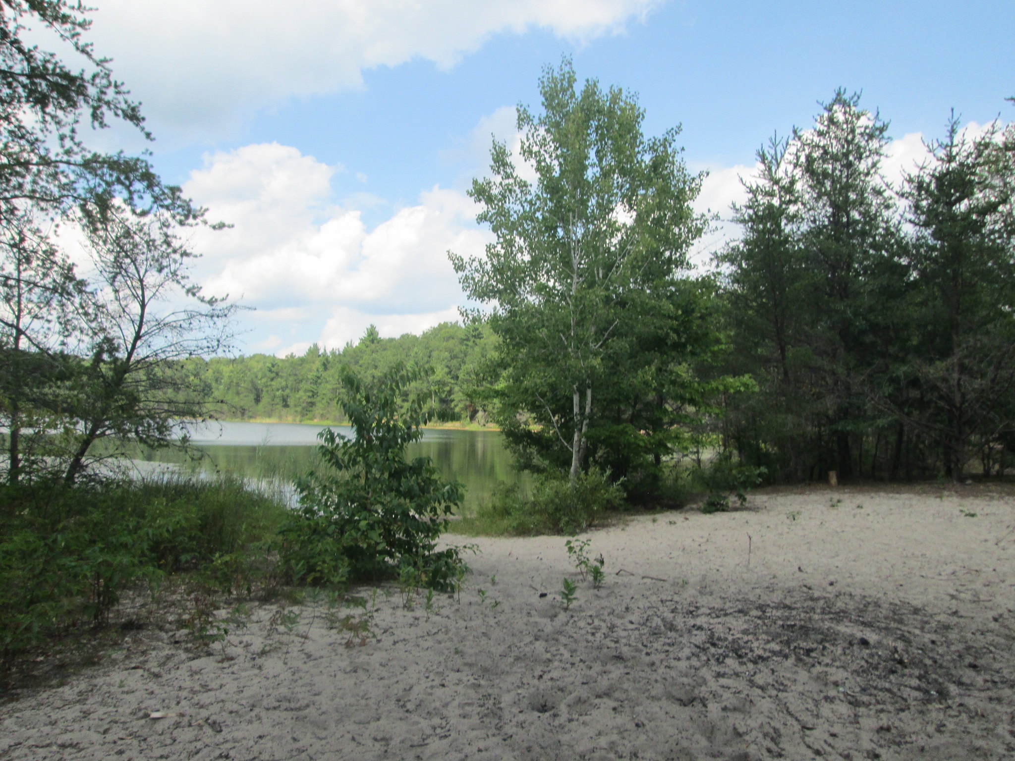
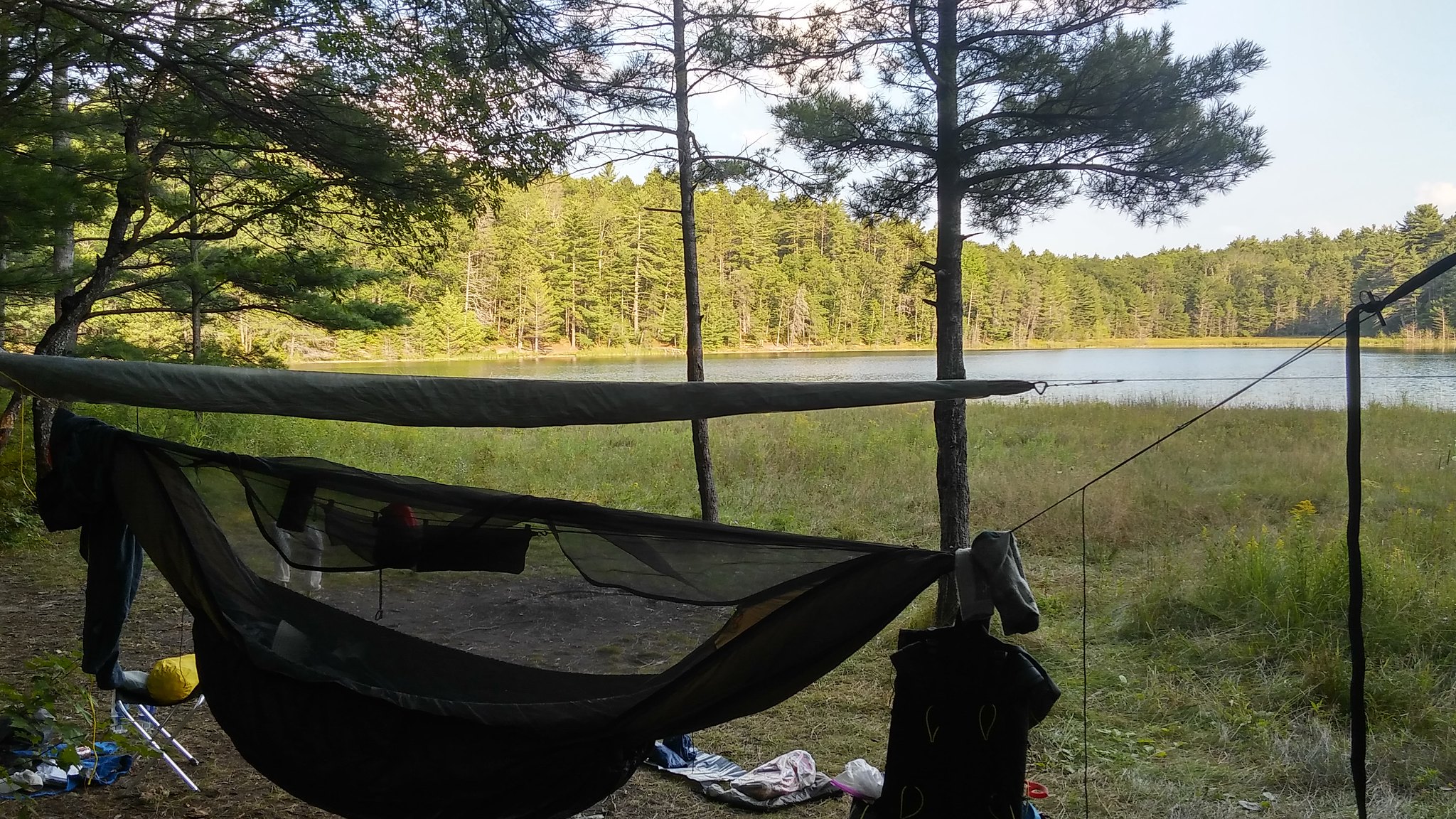
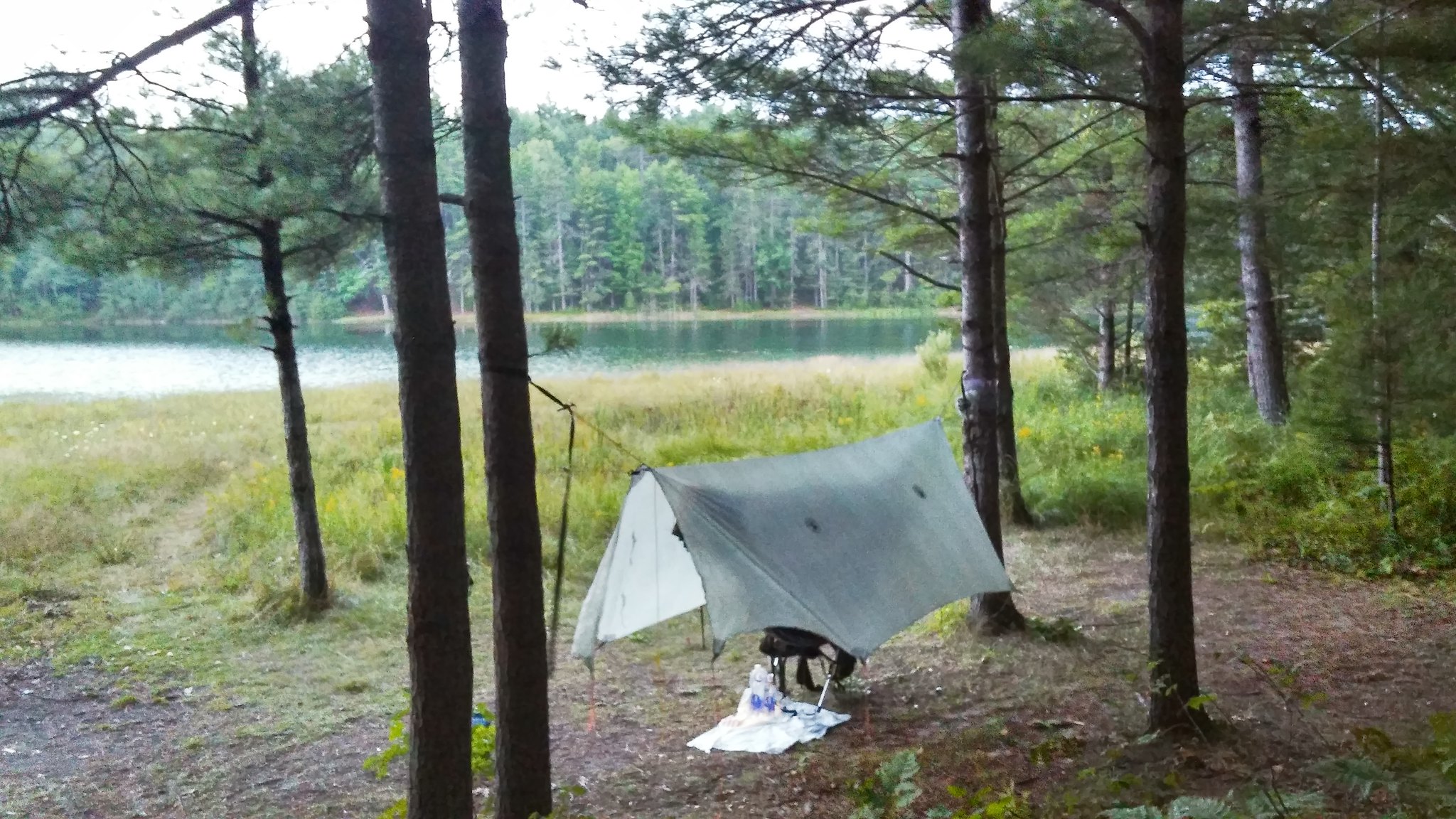
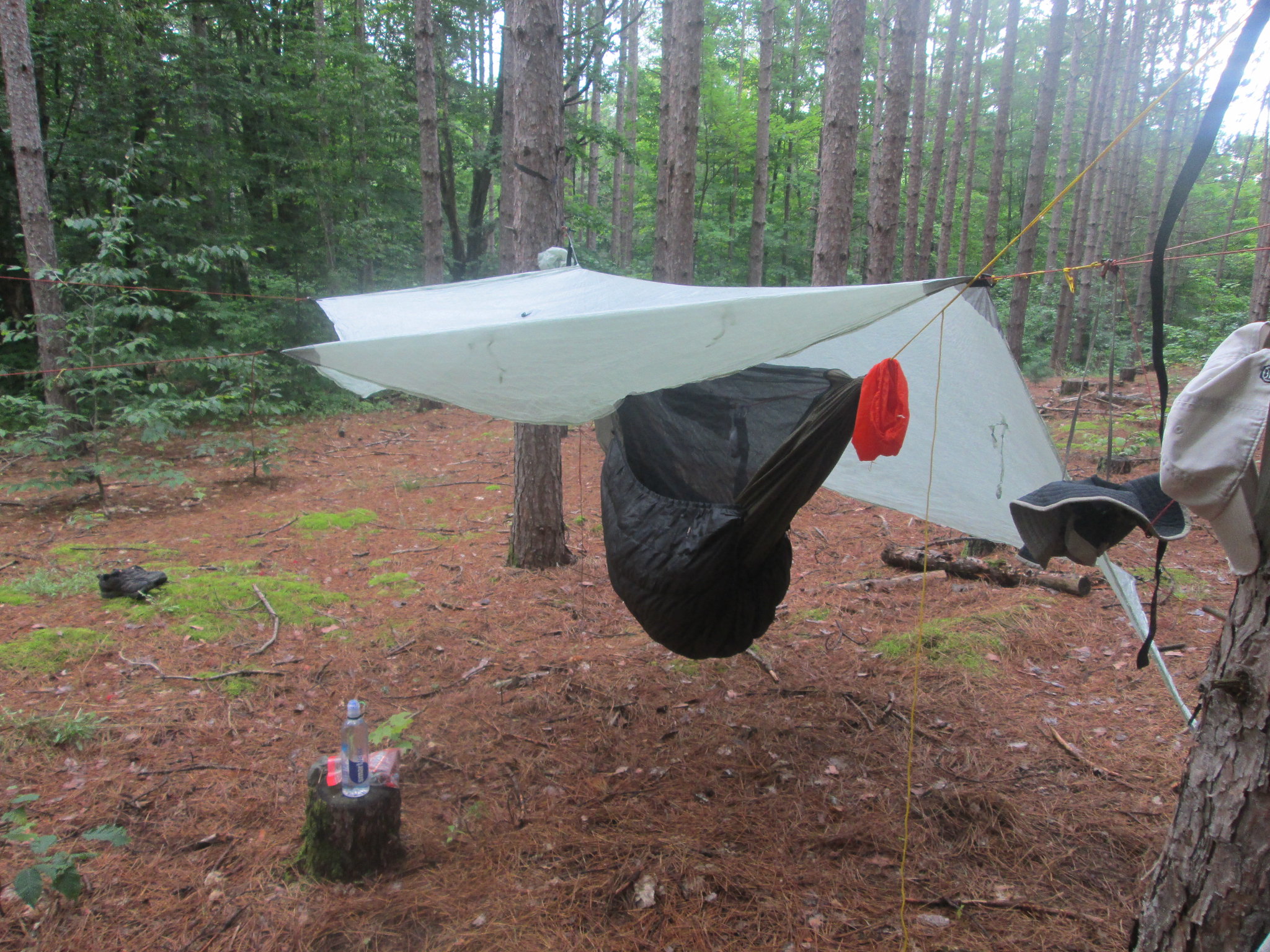
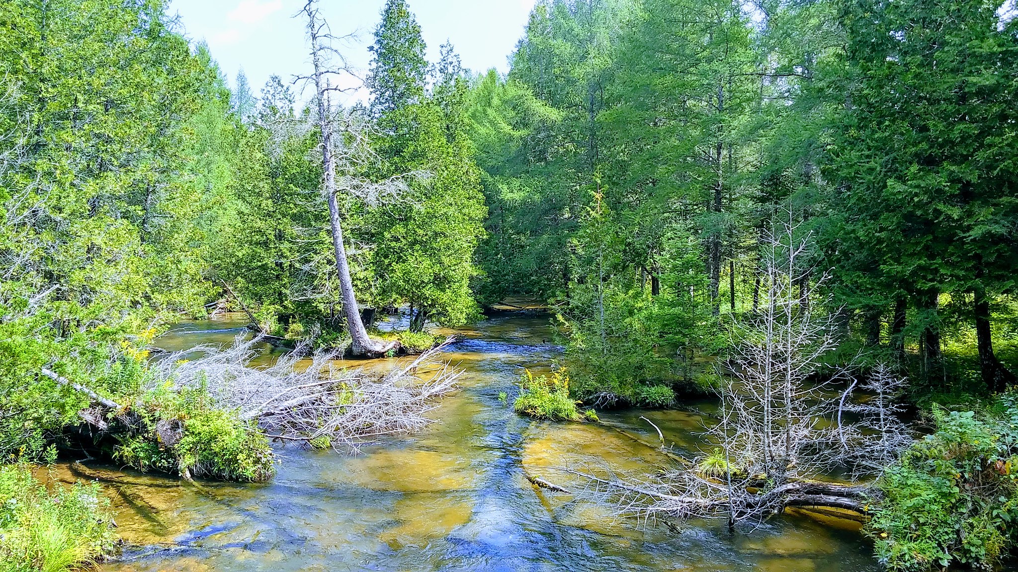
Sand Lake #1 was my destination, so I followed a trail around the lake and found a nice spot in the pines with a perfect view. After 20.2 miles, I wrapped up my day around 5:30. I got everything setup, skipped the campfire and enjoyed a Keewenaw Black Widow with my mac n cheese w/sausage dinner. The lake is called a marl lake because of the grayish clay along the shoreline. Once you got past that, it was great swimming, but it was sticky stuff. I used my Sawyer here, and even though it looked clean, the water still had an odd taste to it.
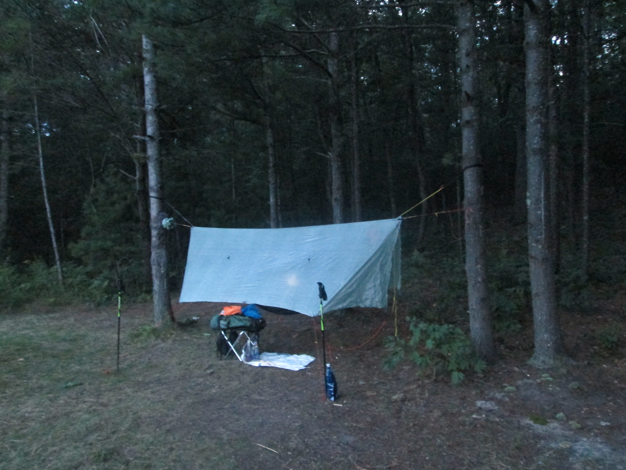
Sleep came early at 9:00 PM, but the mid 60s temps were a bit warm. Around 2 AM, a slight breeze came in, then picked up and started pounding my tarp. I had a stake pull out, just as it really started to get windy. Then the rain started. I didnt get a lot of sleep, but at least I was comfortable!
Day 2 (Thursday): Sand Lake 1 to Farrar Lake, 22.2 miles in 8:21
I woke up by 5:30 to the sound of rain on my tarp, grabbed my food bag from a nearby tree, then had my carnation instant breakfast, a pop tart, and a cup of coffee. It was time to pack, so I did as much as I could do, put the raingear on (raincoat and sil kilt) and wrapped up my CF tarp the best I could and stashed it outside my pack. By 7:00 AM I was on the trail for what would be a very long day.
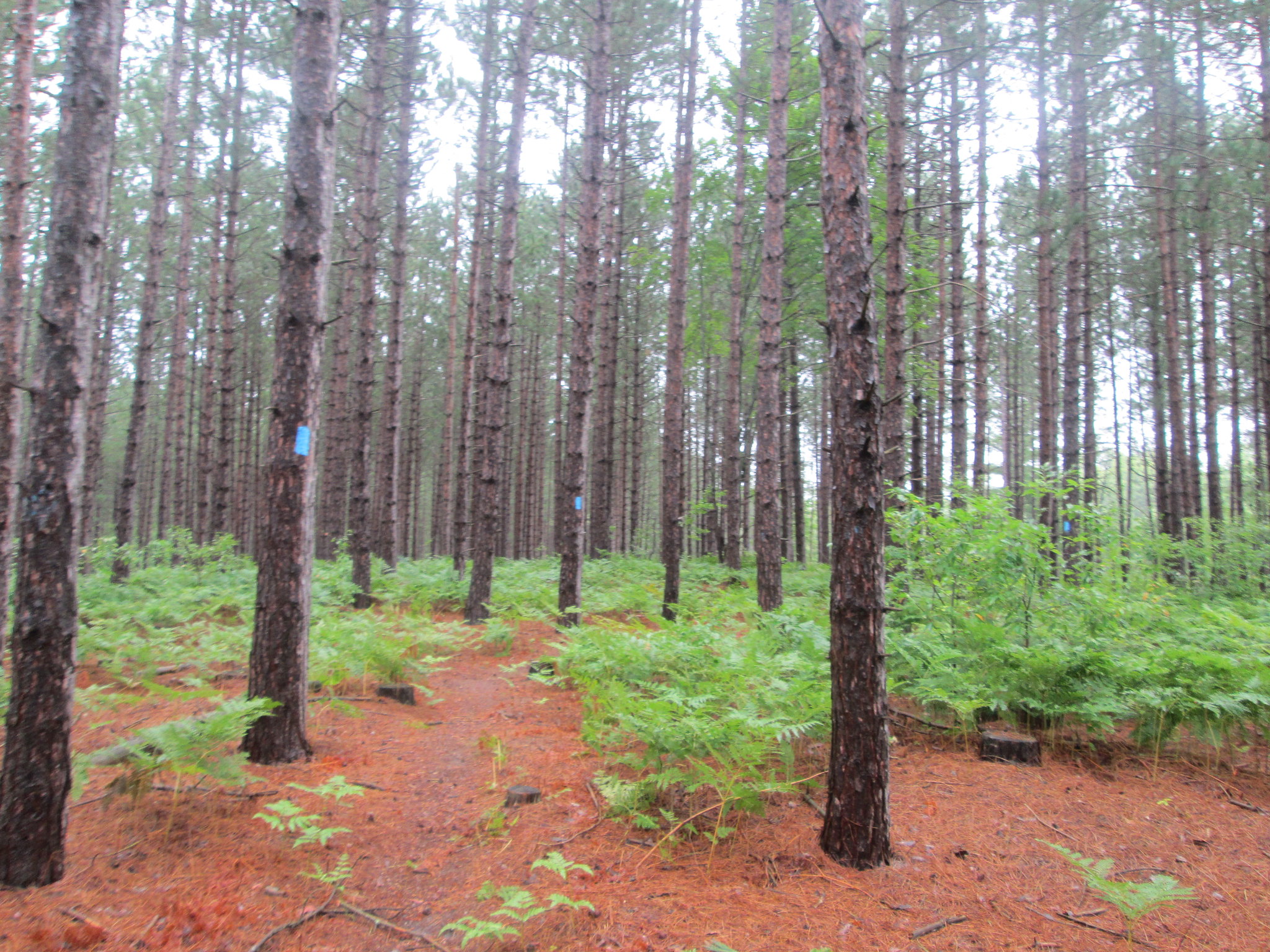
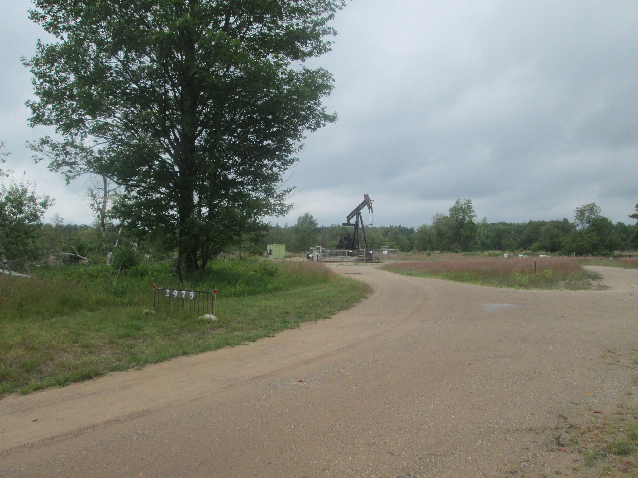
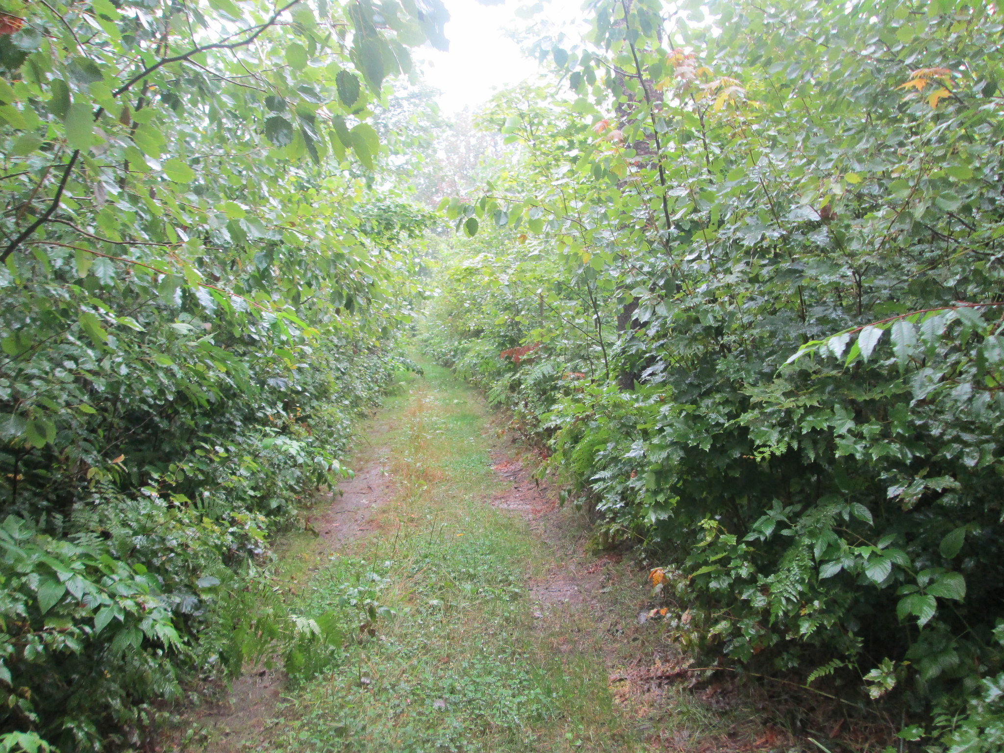
Kalkaska was 14 miles away and I needed a fast food fix at BK. After a couple miles, I passed the spur to the Guernsey Lake SF campground, but I had plenty of water, so I continued on. Rain would come and go all day and my raincoat was too hot, so I went with my rain kilt and a cheap plastic poncho that I could easily take on and off. The trail had a lot of variety through the section to Kalkaska, with big pines, some clearcut areas, and open fields.
My feet were pretty wet, so I knew Id have issues later. The trail also cuts in and out with the TC to Kalkaslka Trail. A couple of the sections I was on was heavily used by horses, who pretty much destroy the trail and turn it too sand. My choice was to walk in the narrow wet trail or walk on either side of it in the scrub brush that was widened out with a brush hog. I did get off the NCT by accident, probably because it was pouring rain and I missed the NCT marker. The trail marks were confusing, since it was a combination of blue blazes, old warn blue blazes that looked almost white, plus blue badges that looked like the NCT, but were actually the TC-K/horse marks.. At one point, the trail didnt look right and I saw an intersection that I followed. It connected up with the NCT at a two-track, so I think I had been on a dedicated horse section for a mile or two. Back on track, I continued on and past Smith Lake, just outside of Kalkaska.
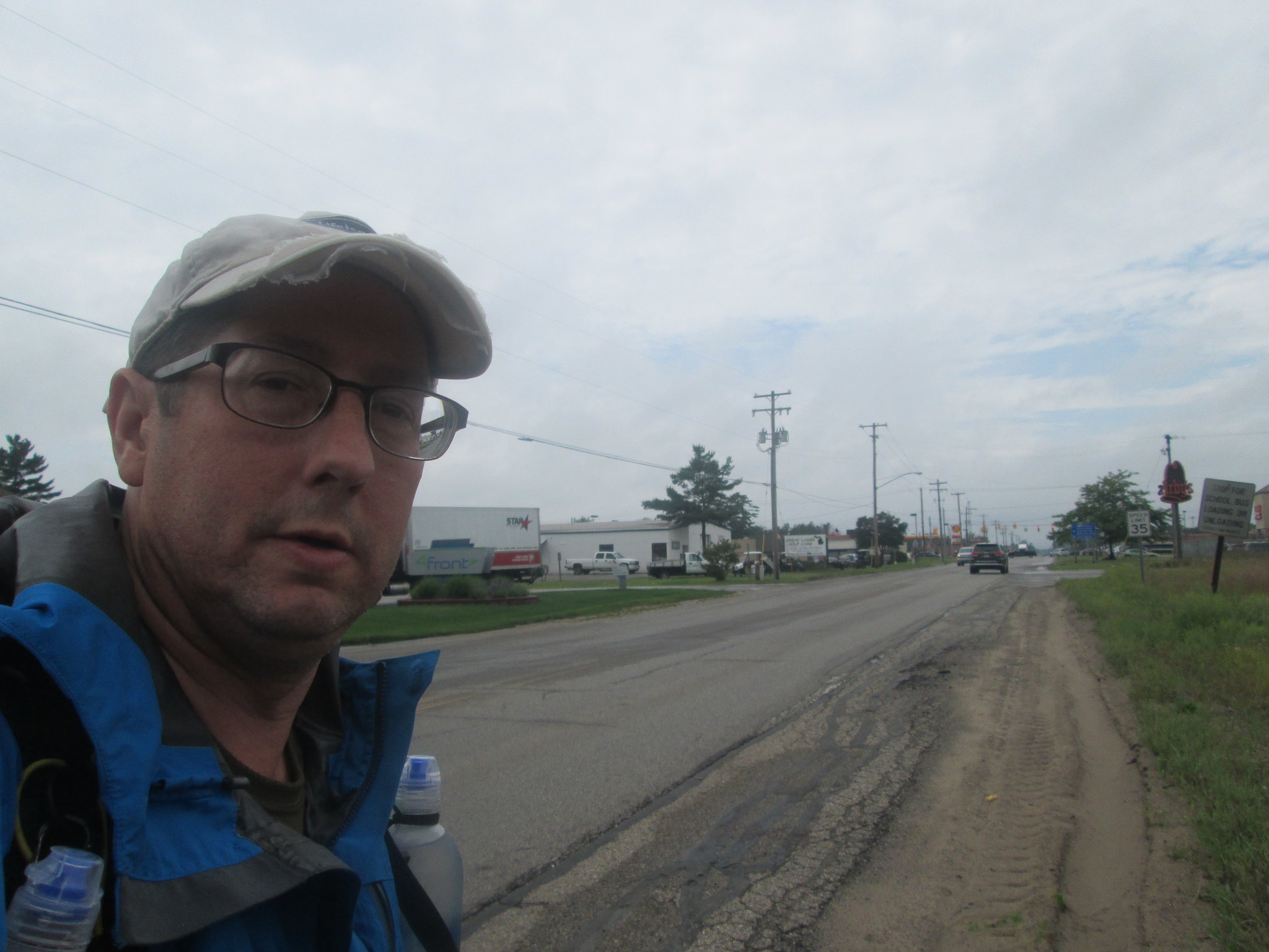
Coming in on a two-track, I got to the Kalkaska Trailhead, right next to there sports complex and fairgrounds. I knew the NCT picked up again on the other side of town, but Id follow the map I had that takes you south on a asphalt path, then east and north again, basically adding to the mileage. Around 12:30 PM, I wandered into Burger King, dropped my wet gear in a pile, had a long lunch and contemplated the next leg as I watched the rain come down.
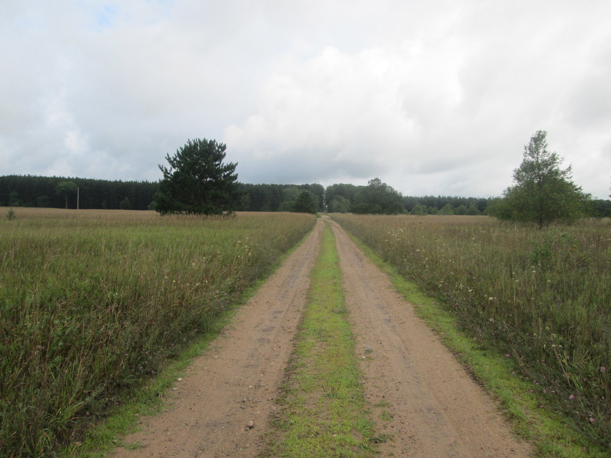
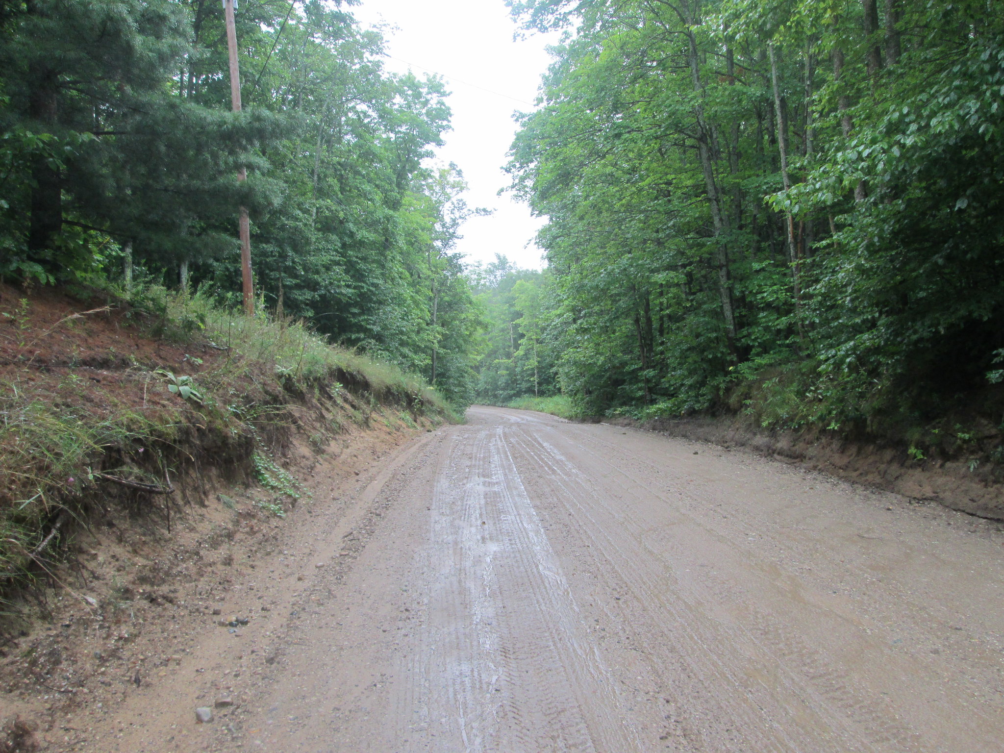
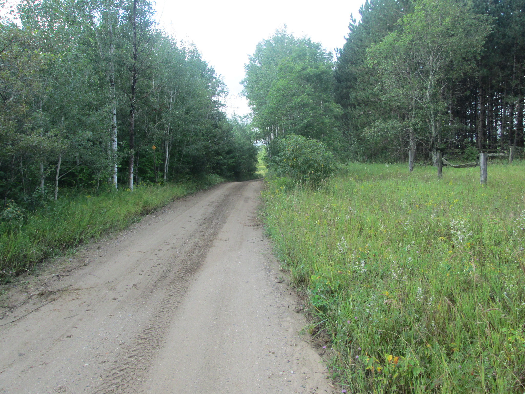
The next section of trail was a reroute on less used roads, so I wasnt looking forward to 8 more miles of wet, muddy roadwalk. By 1:30, I set off again in the drizzle, worked my way east and north through Log Lake Country Campground. The trail followed paved roads, a little bit of trail through the woods, then it was back to the muddy, dirt road.
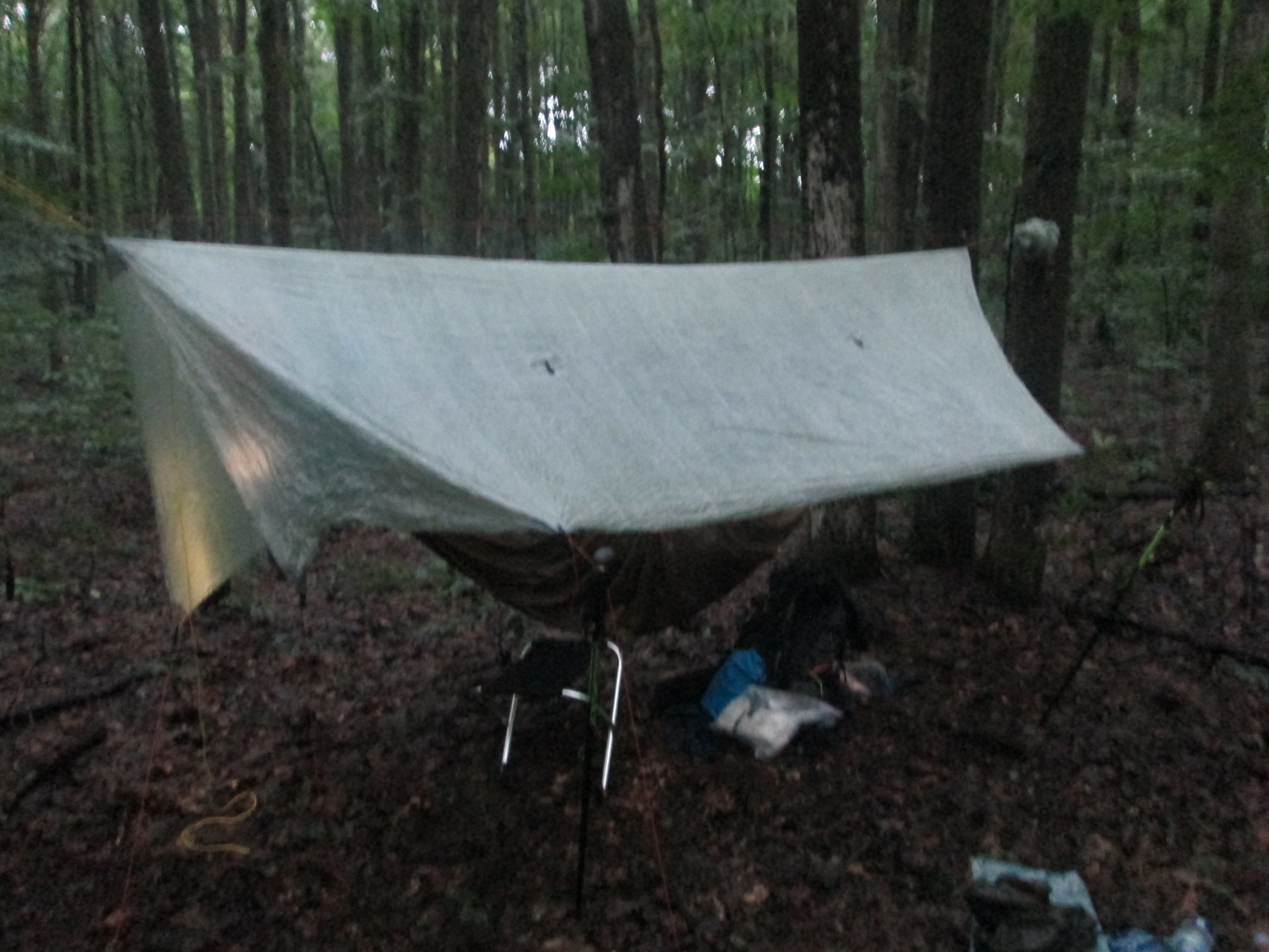
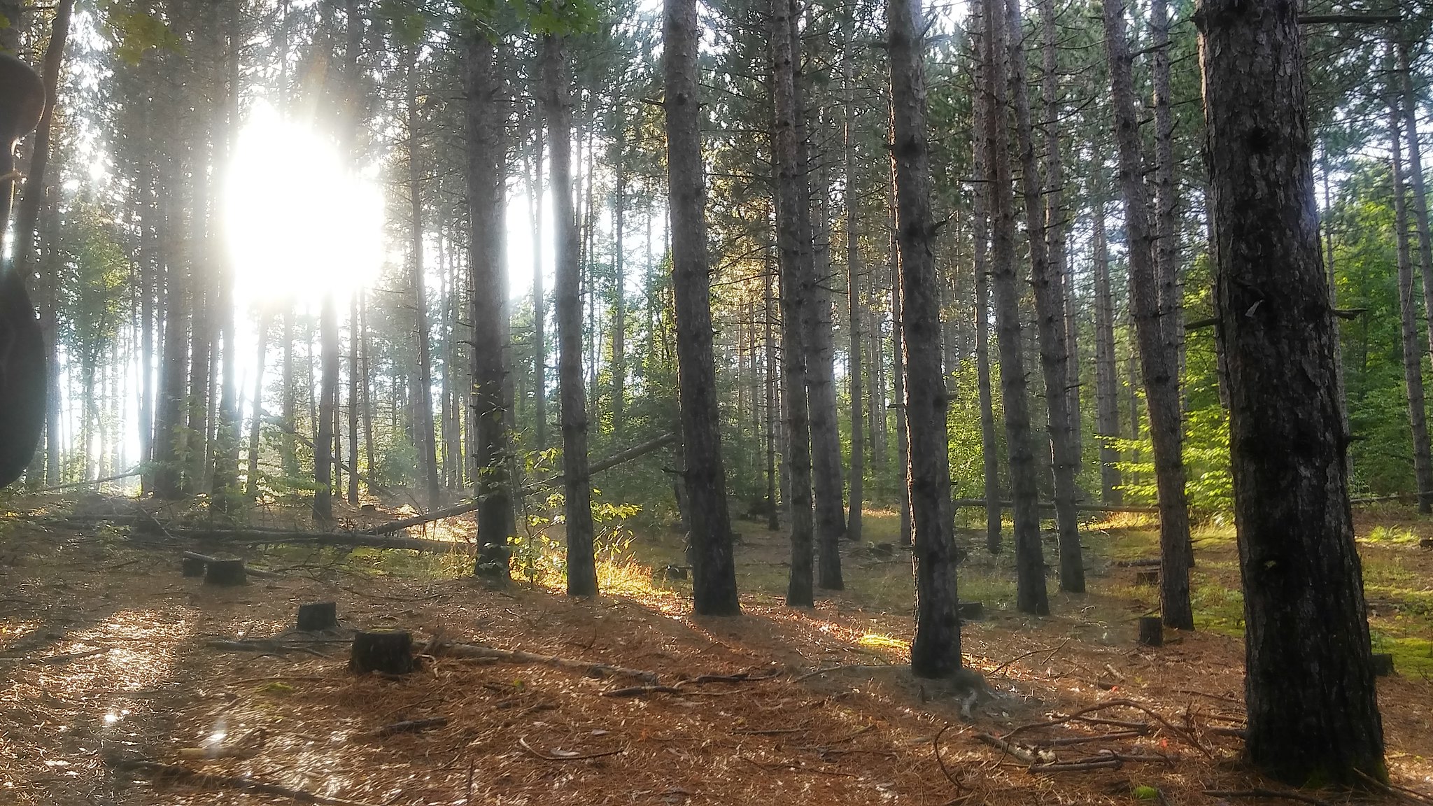
Nothing really scenic about the next 6 miles or so of trail. I just kept looking forward to my destination that night at Farrar Lake, on the south side of Wood Road. At 5:10 PM, I followed the two track down the lake, then found my spot for the night in the pine plantation about the lake.
It was a perfect spot and at least the rain had pretty much stopped. I set up camp, left my gear out hanging, then went down to the lake to wash the sweat off and top off my water. Of course it has to rain when Im down there, so my exposed gear got damp again. By 9, it was hiker midnight and I settled in for a relaxing night in the hammock. I was exhausted after 22.2 miles and slept soundly until around 4 AM, when the rain came again.
Day 3 (Friday): Farrar Lake to Bocook Road, 23 miles in 9:33

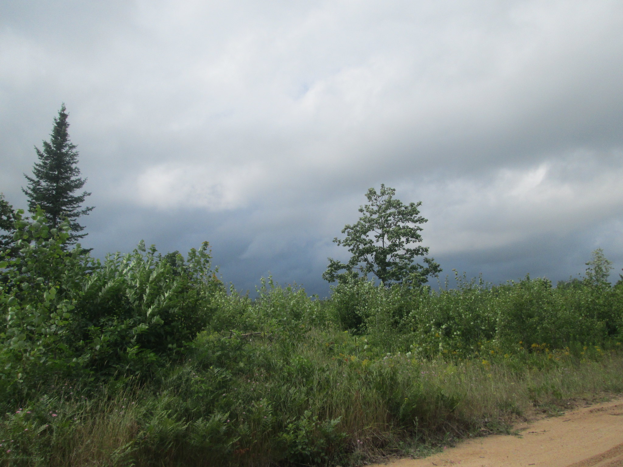
Today would be my biggest day so far! I awoke at 5:30 with plans on getting out early. 5 more minutes turned to 6:30 wake up, with rain coming down pretty steady. It was my 53rd birthday, so I had to check in at home, and I lost some time there. By 7:45, I was back on the muddy road in a downpour with the raincoat and kilt, that I would have on all day.
The road walk would go on for the next 8 miles. Nothing to see here except more wet, muddy roads and an equally wet hiker. I planned to take a break at Pickeral Lake SF Campround and rolled in there by 11 or so. Hoping that there would be campers there with a canopy, I was disappointed it was pretty much empty.
I pulled my pack off and hunkered on my chair under the sign in board. Definitely a low point of the day, but I knew there was salvation 5 miles ahead at the Hideaway Bar, ½ mile west of the trailhead at Starvation Lake Road.
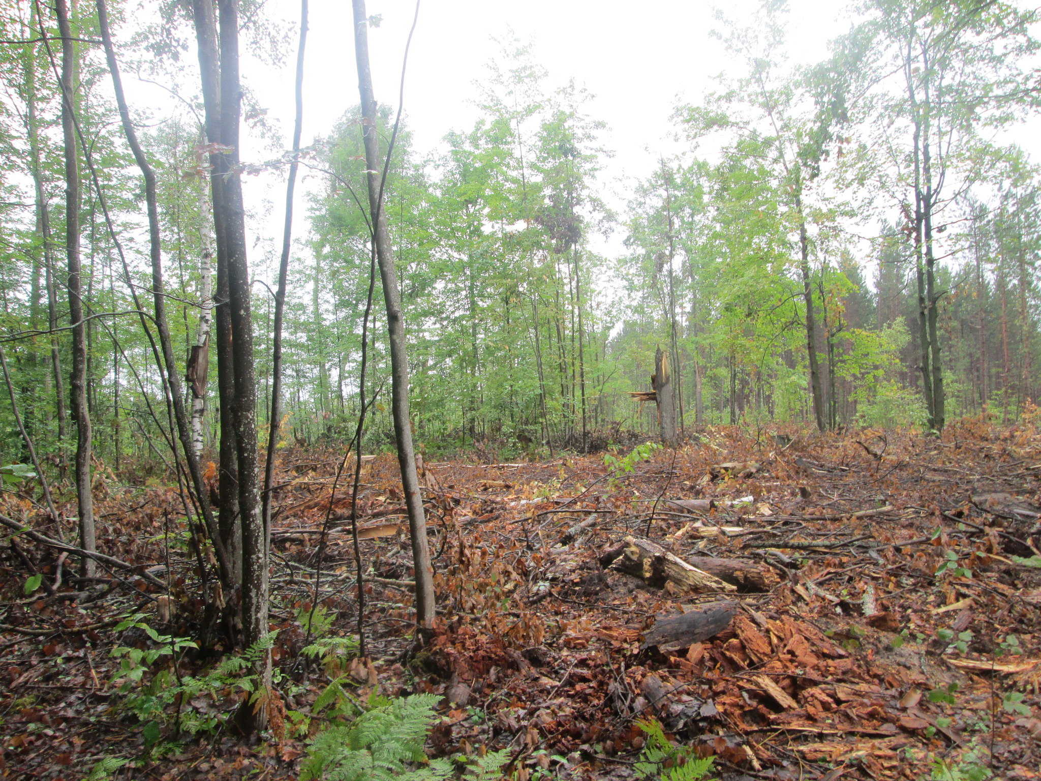
This was actually a really nice section of trail, with big trees and nice lake views. The only downside was that part of it was being logged. I almost forgot it was raining, but knew it was, since my shoes would squeeze out water everytime Id take a step.
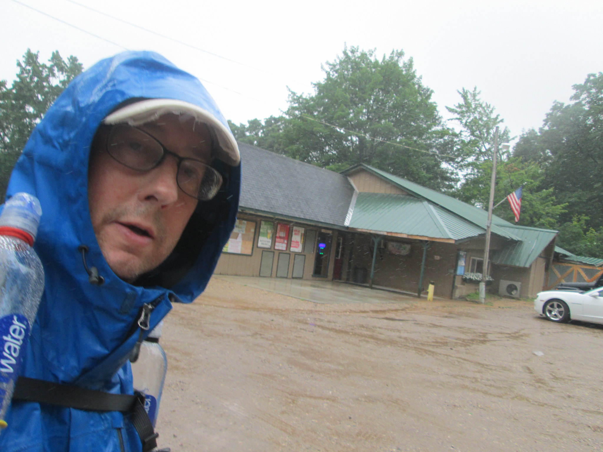
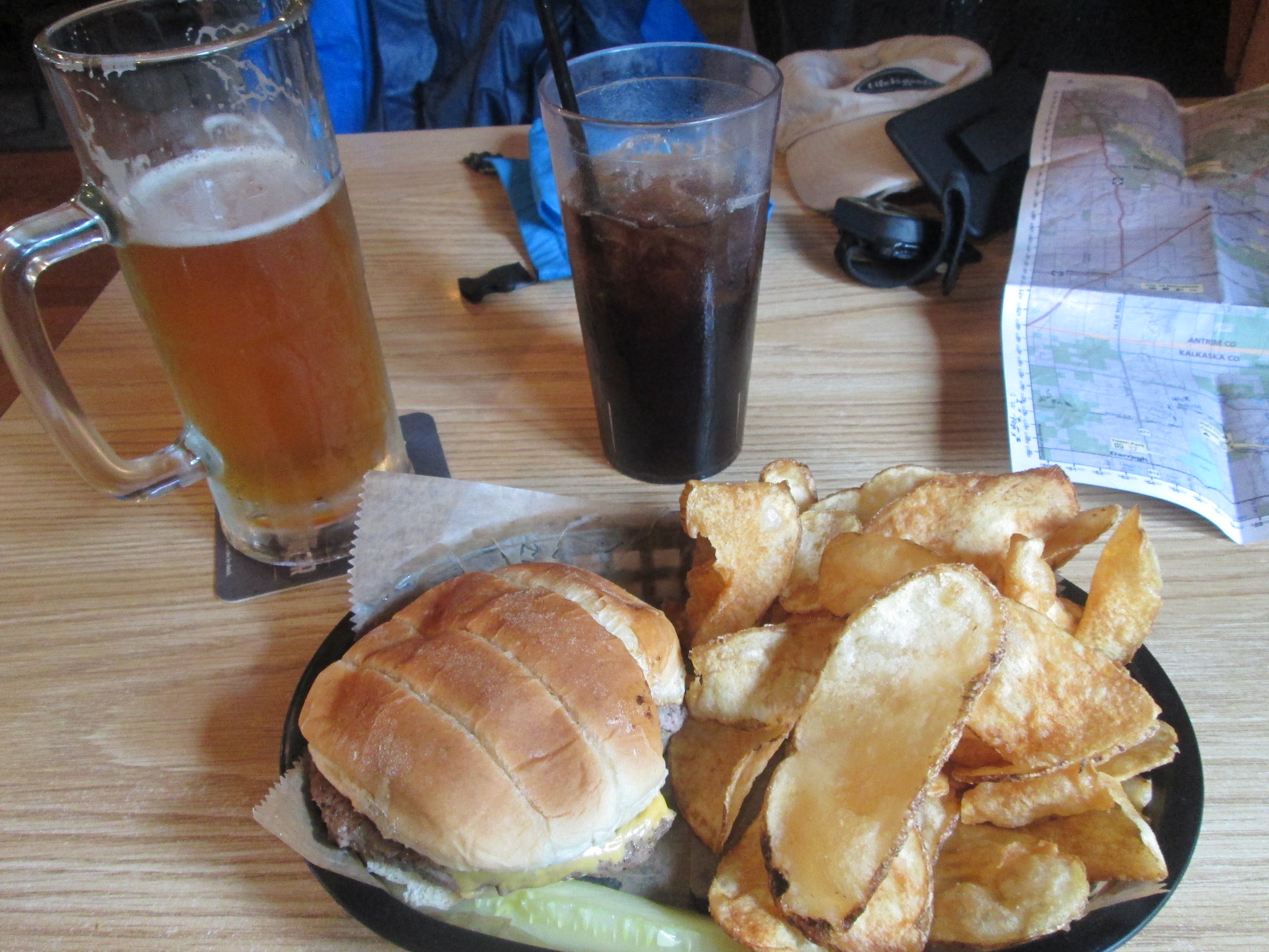
At 3:00 I was at the Hideaway, made my way to an out of the way spot and took a well deserved break. A tall Oberon, large coke and a cheeseburger lifted my spirits and made my birthday memorable. Unfortunately, it was still raining and watching it roll off the metal roof was a bit depressing. By 4:00, I headed back to the trailhead and continued north to Sand Lake, where I thought Id stop.

The trail was more an old two track and I got to the lake. Heavy, brush woods surround the lake and hang spots didnt look good with the majority being poplar and birch. It also felt very secluded and seeing the large pile of fresh bear poop and tracks along the shore didnt make me feel at ease. I filled my bottles and took a 64 oz bag of dirty water for later. From the map, I had a couple miles of road ahead of me, and since it was 5:30, I kept going, searching for a good spot to stop.
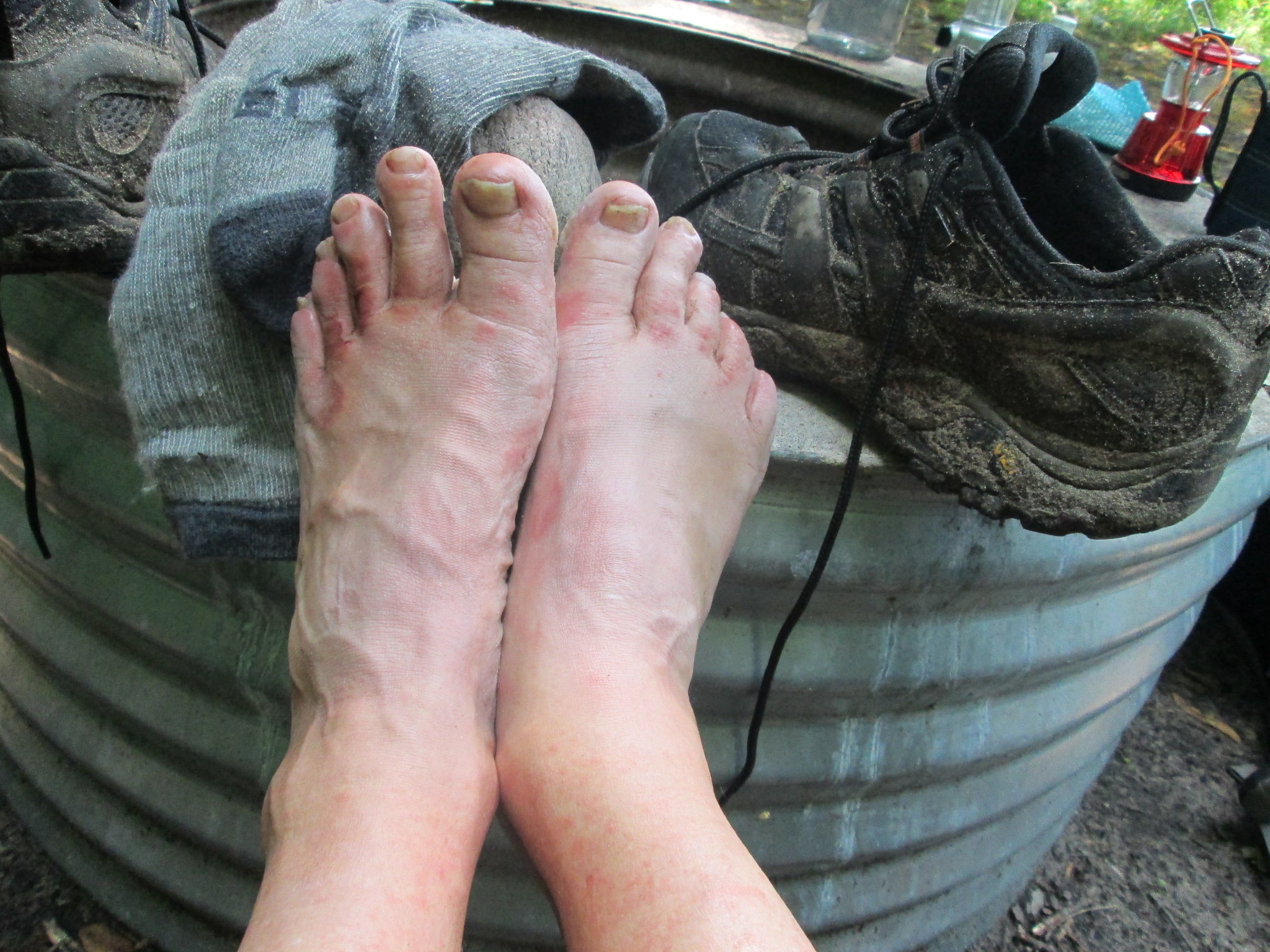
I had already done 20 plus miles and my feet were really starting to bother me. I knew I had blisters, but just kept going in the rain. Finally, I got back on normal trail and ended up stopping for the night near Bocook Road. It was 7:20 PM and I was done .23 miles was a brutal day. I ended up about 10 feet off the NCT, but I figure I hadnt seen any other backpackers, so whos going to complain. I found a good tree to hang my food right in the middle of the trail too. I was still full from my burger, so I just made the best of it and ate junk food. I finally took off my shoes and socks and my feet were steaming and looked like theyd been underwater for days. They were in rough shape. By 9:00 PM, I was out for the night, lulled by the sound of rain on my tarp. At around 1:00 AM, I woke up and my feet felt like they were burning, so I got up, popped some Tylenol and used up a pack of moleskin and bandaged up my feet, so save time in the morning.
Day 4 (Saturday): Bocook Road to Pinney Bridge 11.2 miles in 5:50
Im always an early riser and this day was no different. I planned on meeting up with Donk67 and Turkey at the Pinney Bridge Campground in the Jordan River Valley. This was my motivation for the day, but my feet were telling me something else. By around 7:00 AM, I was on the trail. My gear was damp, I was damp and my shoes were still wet. I did my best and used a new set of socks, but that didnt last long. I had a pretty slow pace and the foot pain was pretty severe, but I continued on. I knew Turkey was only a phone call away if I felt I needed to tap out. In hindsight, I probably should have, but I still felt the overwhelming urge to complete what I had set out to do. Im glad I pushed hard the previous day, because any extra miles today would have been tough. The morning hike would take me through more woods, eventually taking me to the NCT connector at Five Lakes.
After the short jog west, I headed north on Corey Road, for another 4.1 mile road walk on dirt roads. At least it was dry out and I just shuffled along at a snails pace. Finally, around 11:00 AM, I got back into familiar territory at Landslide Overlook on the edge of the Jordan River Valley. This is one of my favorite sections of the NCT with great views, the crossing of the 45th Parallel and the river coming into Pinney Bridge.
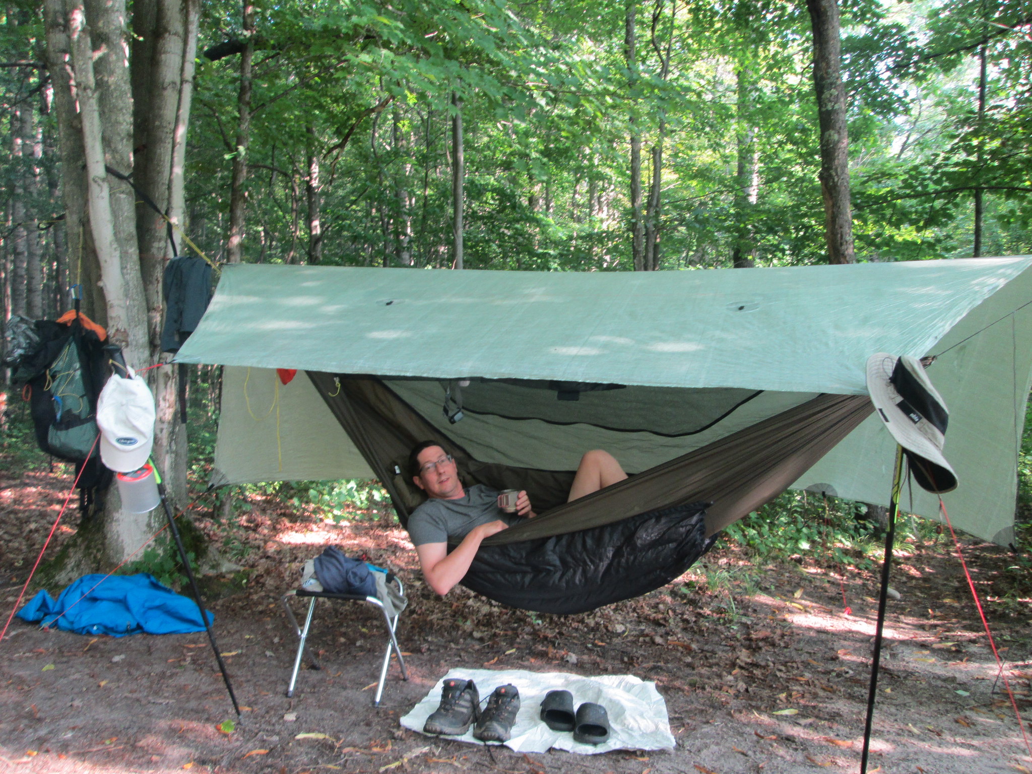
I was still moving pretty slow, and at 1:45 PM, I wandered into our site #4, our traditional spot at Pinney Bridge. Turkey had secured the site earlier and it was great to finish my journey. An hour or so later, Donk67 would arrive and wed enjoy the rest of the day and evening around the campfire. Bacon cheeseburgers cooked on cast iron and beer were a high point to the day, along with a variety of bourbon barrel brews and other craft beer. This was trail magic at its' best!
My feet were pretty much done, so I just relaxed and enjoyed hanging out with everyone and catching up. I slept great that night in the hammock and on Sunday morning, we enjoyed some coffee, then went over to the Alba Sportsman's Club for the all you can eat breakfast.
Final thoughts:
This trip took a toll on my physically. My back and legs felt great, but my feet took a beating. Between the miles and rain, it was tough and one week later, they are still healing up. I set out to accomplish my goal of completing more NCT segments and I did that. I think now Ill change my focus into doing quality versus quantity trips .Or maybe do more NCT sections in the UP, with a partner and not solo. One thing I learned on this one is that when you don't have someone with you, theres no one to say we have to stop here and call it a day or drink more water.
If youre thinking of doing this section, heres my honest opinion: Fife Lake to Kalkaska is fine. Muncie, Sand and Dollar Lake areas are very nice, just watch out for the trail markers and horse poop. Dont waste your time from Kalkaska to Pickeral Lake SF Campground, and honestly, the sections north to the Jordan are hit and miss with road walks. The Jordan River Valley is always a great hike and a high point. Heres my final stats for the trip: 76.6 total miles hiked in 31 hours and 6 minutes, with an average speed of 2.6 mph. Total estimate of road & 2 track walk: 23 miles. Despite the hardships, it was still a great adventure!
Thanks for joining me on this section of the NCT. Heres the link to the full album:
https://flic.kr/s/aHsm74t8ic


 Reply With Quote
Bookmarks